Keyhole, Inc.
Overview
Keyhole, Inc. was a pioneering software development company that specialized in geospatial data visualization applications. The company was founded in 2001 by John Hanke, who had previously worked at Silicon Graphics, Inc., a high-performance computing manufacturer. Keyhole's primary product, Earth Viewer, was a groundbreaking tool that allowed users to explore the Earth through a virtual globe interface.


History
Keyhole was initially funded by a venture capital firm, In-Q-Tel, which is strategically aligned with the Central Intelligence Agency (CIA). The company's Earth Viewer software was initially used by news organizations like CNN during the 2003 invasion of Iraq, showcasing its ability to provide detailed geographical visualizations.
In 2004, Keyhole was acquired by Google, a move that would significantly impact the future of online mapping. Google used Keyhole's technology as the basis for Google Earth, a free-to-use application that has since become a staple of online mapping and geospatial visualization.
Products
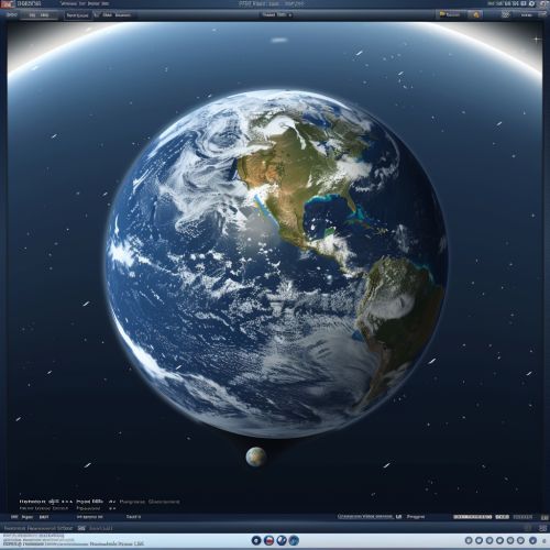
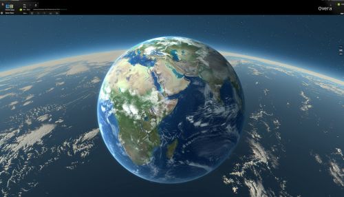
Keyhole's primary product was the Earth Viewer software. This application allowed users to navigate a 3D model of the Earth, zooming in to view high-resolution satellite and aerial imagery of specific locations. The software was capable of overlaying various types of data, including roads, landmarks, and geographical features.
Impact and Legacy
Keyhole's technology laid the groundwork for many of today's geospatial applications. Google Earth, which was directly built on Keyhole's Earth Viewer software, has become one of the most widely used mapping applications in the world. Keyhole's influence can also be seen in other Google products, such as Google Maps and Google Street View.
The company's technology has also had a significant impact outside of Google. Many modern GIS (Geographic Information System) applications, including those used in fields like urban planning, environmental science, and defense, have been influenced by Keyhole's approach to geospatial visualization.
