GNSS in Disaster Management
Introduction
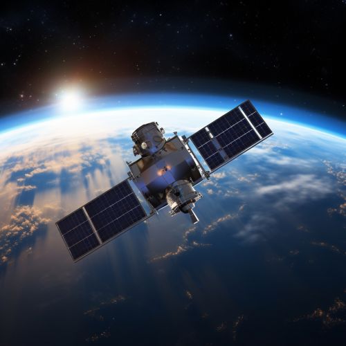
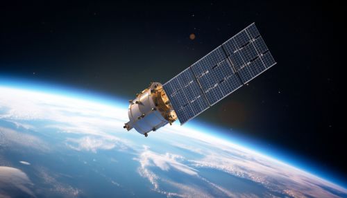
GNSS (Global Navigation Satellite System) is a satellite system that is used to pinpoint the geographic location of a user's receiver anywhere in the world. GNSS plays a significant role in disaster management, providing critical information that aids in the prediction, monitoring, response, and recovery phases of disaster management. This article delves into the various ways GNSS is utilized in disaster management, highlighting its importance and the challenges faced in its application.


GNSS and Disaster Prediction
One of the key uses of GNSS in disaster management is in the prediction of natural disasters. GNSS data can be used to monitor the Earth's crust movement, which is crucial in predicting earthquakes. For instance, the Global Positioning System (GPS), a type of GNSS, is used to detect the slow strain accumulation on fault lines, which can indicate an impending earthquake.
In addition to earthquake prediction, GNSS is also used in predicting volcanic eruptions. The ground deformation that occurs due to the movement of magma beneath a volcano can be detected using GNSS. This information can be used to predict an eruption, providing valuable time for evacuation and other disaster management measures.
GNSS in Disaster Monitoring
Monitoring is another crucial aspect of disaster management where GNSS proves to be invaluable. GNSS can provide real-time data on the progression of a disaster, aiding in effective decision-making and resource allocation.
In the case of wildfires, for example, GNSS can be used to track the spread of the fire, providing real-time updates on its location and direction. This information is crucial for firefighters and other emergency responders, allowing them to strategically plan their response and evacuation efforts.
Similarly, in the event of a flood, GNSS can be used to monitor water levels and the rate of rise, providing critical information for flood warnings and evacuation orders.
GNSS in Disaster Response
During the response phase of a disaster, GNSS can provide critical information to aid in rescue and relief efforts. One of the main uses of GNSS during this phase is in navigation and communication.
Emergency responders can use GNSS to navigate through disaster-stricken areas, even when traditional landmarks and road signs have been destroyed. GNSS can also be used to locate victims, particularly in large-scale disasters where people may be trapped or in remote locations.
In addition to navigation, GNSS can also provide a communication link when traditional communication networks are down. This can be crucial in coordinating rescue efforts and ensuring that help reaches those who need it most.
GNSS in Disaster Recovery
In the aftermath of a disaster, GNSS can aid in the recovery and rebuilding process. One of the ways it does this is through damage assessment. GNSS can be used to map out the extent of the damage, providing a comprehensive view of the areas that have been most affected. This information can guide recovery efforts, helping to prioritize areas that need immediate attention.
Additionally, GNSS can be used in the reconstruction process. For example, in the rebuilding of roads and infrastructure, GNSS can provide precise positioning information, ensuring that rebuilding efforts are accurate and efficient.
Challenges in Using GNSS for Disaster Management
Despite its many benefits, there are also challenges in using GNSS for disaster management. One of the main challenges is the reliability of the system. GNSS relies on signals from satellites, which can be disrupted by atmospheric conditions, building structures, and other factors. This can lead to inaccuracies in the data, which can be problematic in a disaster situation.
Another challenge is the accessibility of GNSS technology. While GNSS receivers are becoming more common, they are still not universally accessible, particularly in developing countries or remote areas. This can limit the effectiveness of GNSS in disaster management in these areas.
Conclusion
GNSS plays a crucial role in disaster management, aiding in prediction, monitoring, response, and recovery efforts. Despite the challenges, the benefits of GNSS in disaster management are significant, and ongoing advancements in technology are likely to further enhance its effectiveness in the future.
