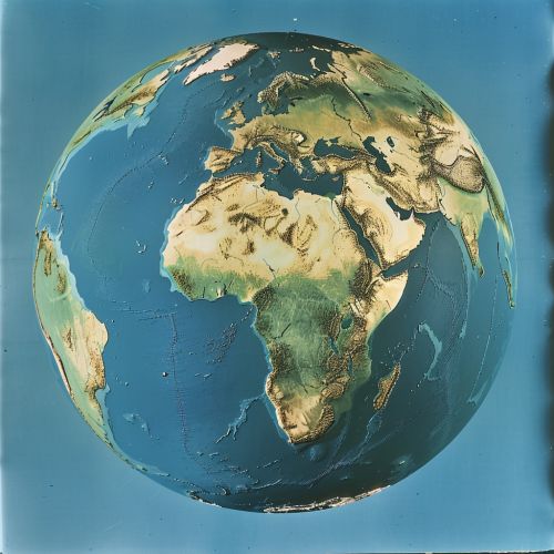
WGS 72
Introduction
The World Geodetic System 1972 (WGS 72) is a geodetic system that was established and used by the United States Department of Defense. It is the predecessor to the WGS 84, which is currently in use for most mapping and navigation purposes worldwide.


Development
The development of WGS 72 was a significant step in the evolution of global geodetic systems. It was based on data from a variety of sources, including satellite and ground-based measurements. The aim was to create a system that would provide a consistent and accurate representation of the Earth's shape and size.
Technical Specifications
WGS 72 is defined by a set of parameters including the Earth's equatorial radius, flattening, and the gravitational constant. These parameters were derived from a combination of terrestrial and satellite data, and were intended to represent the mean Earth, rather than any specific location.
Usage
WGS 72 was used extensively for mapping and navigation by the United States Department of Defense, as well as other organizations worldwide. It was also the basis for the GPS until the introduction of WGS 84.
Transition to WGS 84
The transition from WGS 72 to WGS 84 was driven by advances in technology and the availability of more accurate data. The changes included adjustments to the Earth's size, shape, and gravitational field, as well as the introduction of a new reference frame.
