Volcano Monitoring
Introduction
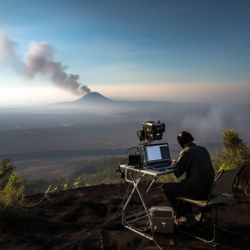
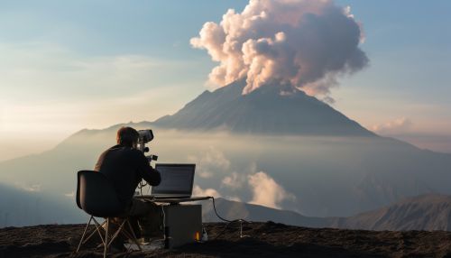
Volcano monitoring refers to the observation and tracking of volcanic activities and related phenomena to predict eruptions and mitigate their impact. It involves a range of scientific techniques, including seismology, geodesy, and geochemistry, among others. This article provides a comprehensive overview of the methods and technologies used in volcano monitoring, the challenges faced by scientists, and the role of monitoring in volcanic hazard assessment and mitigation.


Seismic Monitoring
Seismic monitoring is a fundamental aspect of volcano monitoring. Volcanic eruptions are often preceded by seismic activity, including earthquakes and volcanic tremors. These seismic events are caused by the movement of magma and gases within the volcano. Seismographs are used to detect and record these seismic waves, providing valuable data on the internal processes of the volcano.
Seismographs
Seismographs are devices that measure ground motion. They consist of a mass suspended on a spring, with a pen attached to the mass. When the ground moves, the mass remains stationary due to inertia, while the spring and pen move. This movement is recorded on a rotating drum or digital medium, creating a seismogram. Seismograms provide information about the size, location, and depth of seismic events, which can help predict volcanic eruptions.
Seismic Networks
Seismic networks are systems of seismographs spread across a region. These networks allow scientists to triangulate the epicenter and depth of seismic events, providing a more detailed picture of the volcano's activity. Seismic networks also enable the detection of smaller seismic events that might be missed by a single seismograph.
Geodetic Monitoring
Geodetic monitoring involves measuring changes in the shape, position, and gravity of the Earth's surface. These changes can indicate the movement of magma and gases within a volcano. There are several methods of geodetic monitoring, including GPS, InSAR, and tiltmeters.
GPS
GPS is a satellite-based navigation system that provides precise location data. In volcano monitoring, GPS receivers are placed around the volcano to measure ground deformation. Changes in the position of these receivers can indicate the inflation or deflation of the volcano due to magma movement.
InSAR
InSAR is a remote sensing technique that uses satellite radar imagery to measure ground deformation. It can detect changes in the Earth's surface with a precision of a few millimeters, making it a powerful tool for volcano monitoring.
Tiltmeters
Tiltmeters are instruments that measure changes in the slope of the ground. They are often installed on the flanks of volcanoes to detect ground deformation. A sudden increase in tilt can indicate the upward movement of magma and the potential for an eruption.
Geochemical Monitoring
Geochemical monitoring involves the analysis of gases, water, and rocks to detect changes in the chemical composition of a volcano. These changes can provide clues about the volcano's activity and the potential for an eruption.
Gas Monitoring
Volcanoes emit a variety of gases, including water vapor, carbon dioxide, sulfur dioxide, and others. The composition and quantity of these gases can change as magma rises towards the surface. Gas monitoring involves the collection and analysis of volcanic gases, either directly at the vent or remotely using spectrometers.
Water and Rock Analysis
The analysis of water and rocks can also provide information about a volcano's activity. Changes in the chemical composition of groundwater and surface water can indicate the movement of magma and gases. Similarly, the analysis of volcanic rocks can reveal the history and potential future activity of the volcano.
Volcanic Hazard Assessment and Mitigation
Volcano monitoring plays a crucial role in volcanic hazard assessment and mitigation. By providing real-time data on a volcano's activity, monitoring allows scientists to predict eruptions and issue warnings. This information is used by authorities to implement evacuation plans and other mitigation measures, reducing the risk to human life and property.
Challenges in Volcano Monitoring
Despite advances in technology, volcano monitoring remains a challenging task. Volcanoes are complex systems with diverse behaviors, and predicting eruptions with certainty is currently beyond our capabilities. Additionally, monitoring is often hampered by logistical difficulties, such as the remote and hazardous locations of many volcanoes.
Conclusion
Volcano monitoring is a vital aspect of volcanology, providing valuable insights into the behavior of volcanoes and aiding in hazard mitigation. While challenges remain, ongoing research and technological advancements continue to improve our ability to monitor and understand these powerful natural phenomena.
