The Role of Geostatistics in Wildlife Conservation
Introduction
Geostatistics is a branch of statistics focusing on spatial or spatiotemporal datasets. Developed originally to predict probability distributions of ore grades for mining operations, it is currently applied in diverse disciplines including petroleum geology, hydrogeology, meteorology, and environmental science. In recent years, geostatistics has been increasingly recognized as an important tool in wildlife conservation. This article explores the role of geostatistics in wildlife conservation, detailing its applications, methodologies, and benefits.


Geostatistics: An Overview
Geostatistics is a subfield of statistics that deals with the analysis, interpretation, and prediction of spatial phenomena. It employs mathematical models and techniques to analyze spatial or spatiotemporal data, and is particularly useful in fields where data is collected over a geographical area, such as wildlife conservation.
Role in Wildlife Conservation
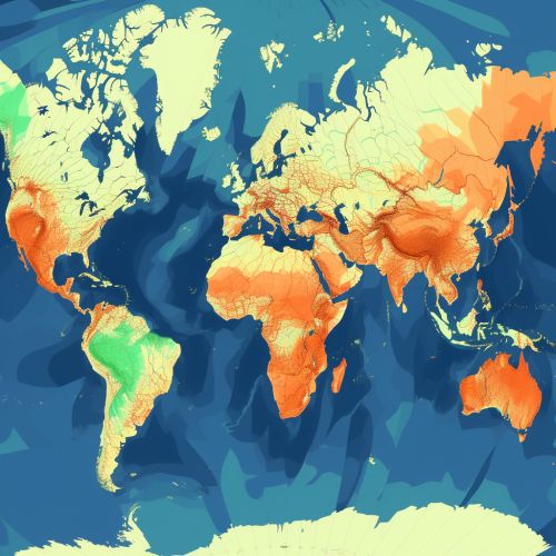
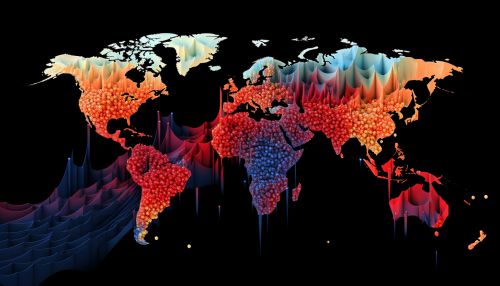
Wildlife conservation is a multidisciplinary field that involves the protection of wild species and their habitats. Geostatistics plays a crucial role in wildlife conservation by providing tools and techniques for spatial data analysis, which is essential in understanding and managing wildlife populations and their habitats.
Population Monitoring
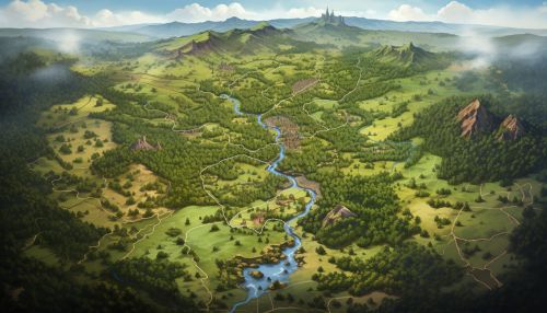
One of the primary applications of geostatistics in wildlife conservation is in population monitoring. Geostatistical techniques allow for the analysis of spatial patterns in population data, helping conservationists understand the distribution and abundance of species across different landscapes.


Habitat Analysis
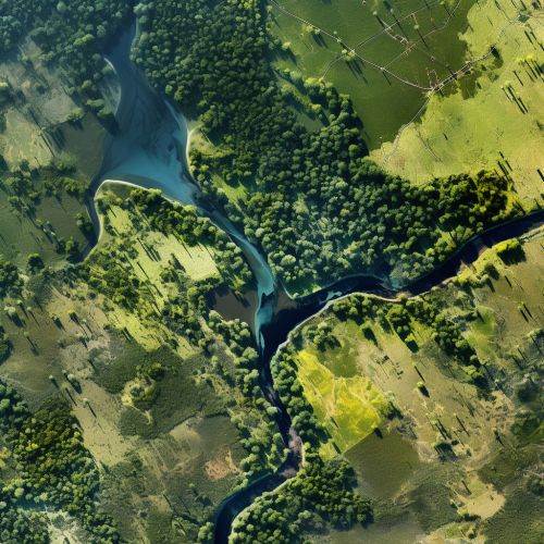
Geostatistics also plays a significant role in habitat analysis. By analyzing spatial data, geostatistics can help identify critical habitats, understand habitat selection processes, and predict the impacts of habitat changes on wildlife populations.
Conservation Planning
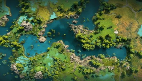
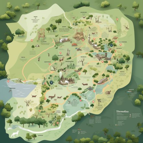
Geostatistics is also instrumental in conservation planning. It provides the tools necessary for spatial prioritization, helping conservationists identify areas that require immediate conservation action.
Methodologies
Geostatistics employs a range of methodologies for spatial data analysis. These include variogram modeling, kriging, and spatial regression techniques, among others.
Variogram Modeling
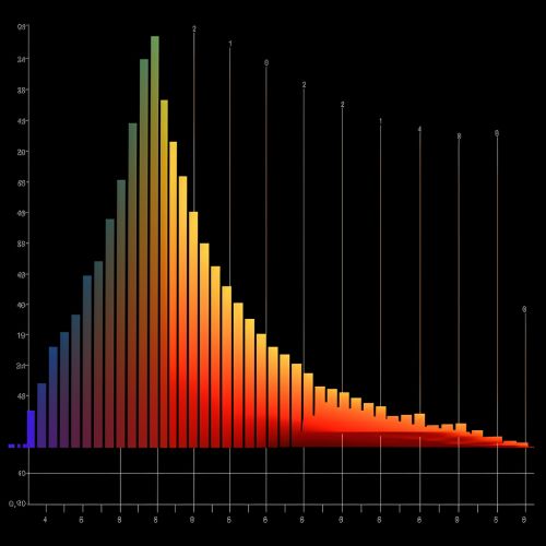
Variogram modeling is a fundamental tool in geostatistics. It provides a measure of the spatial dependence of a variable, which is crucial in understanding the spatial distribution of wildlife populations.
Kriging
Kriging is a geostatistical interpolation technique that allows for the prediction of unknown values based on the spatial autocorrelation of known data. In wildlife conservation, kriging can be used to predict population densities in un-surveyed areas.
Spatial Regression
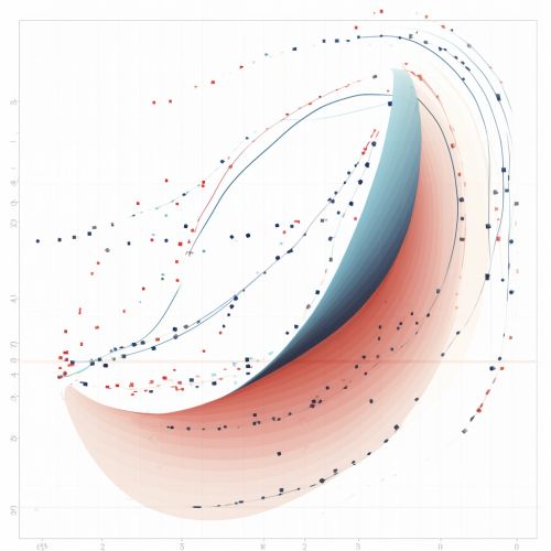
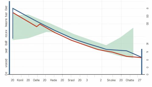
Spatial regression is another important geostatistical technique. It allows for the analysis of spatially autocorrelated data, helping conservationists understand the relationship between wildlife populations and their environment.
Benefits of Geostatistics in Wildlife Conservation
The use of geostatistics in wildlife conservation offers several benefits. These include improved accuracy in population estimates, better understanding of habitat relationships, and more effective conservation planning.

Conclusion
Geostatistics plays a critical role in wildlife conservation. Its methodologies provide valuable tools for spatial data analysis, aiding in population monitoring, habitat analysis, and conservation planning. As the field of wildlife conservation continues to evolve, the importance of geostatistics is likely to grow even further.


