The Role of Geostatistics in Predicting Soil Erosion
Introduction
Geostatistics is a branch of statistics that deals with spatial or spatiotemporal datasets. It has been extensively applied in various fields such as mining, hydrogeology, and environmental science. One of its significant applications is in predicting soil erosion, a critical environmental issue affecting agricultural productivity and landscape stability.
Geostatistics: An Overview
Geostatistics originated from the mining and petroleum industries, where it was used to predict the likely locations of valuable resources. It involves the use of statistical methods to analyze spatially correlated data. The fundamental concept in geostatistics is spatial autocorrelation, which refers to the statistical correlation of a variable with itself through space.
Role of Geostatistics in Soil Erosion Prediction
Geostatistics plays a crucial role in predicting soil erosion by providing tools and techniques to analyze spatially distributed data. It allows researchers to understand the spatial variability of soil properties and the factors influencing soil erosion, such as rainfall, slope, vegetation cover, and land use.
Spatial Variability of Soil Properties
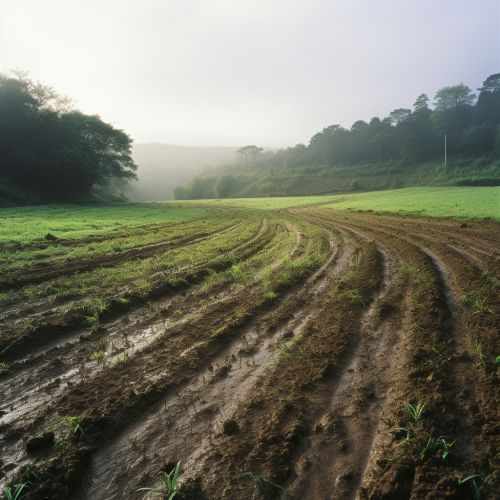
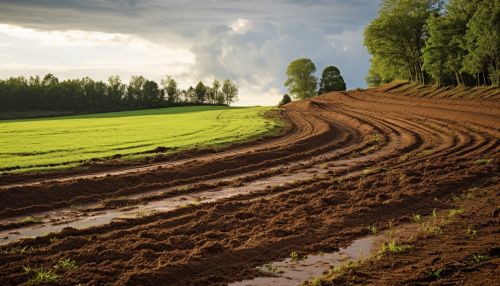
Soil properties, such as texture, structure, and organic matter content, significantly influence soil erosion rates. These properties are not uniformly distributed across a landscape, resulting in spatial variability. Geostatistics provides tools, such as kriging and variograms, to analyze this spatial variability and predict soil erosion rates at unobserved locations.
Factors Influencing Soil Erosion
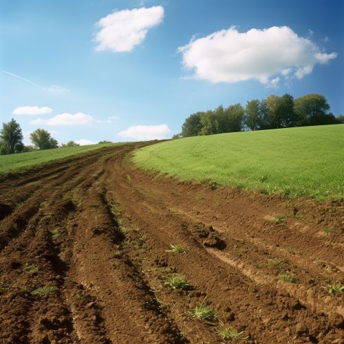
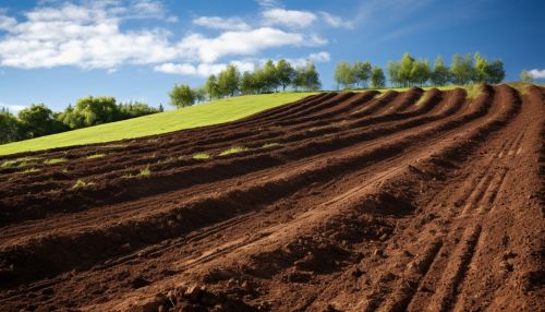
Several factors influence soil erosion, including rainfall, slope, vegetation cover, and land use. Geostatistics allows for the analysis of these factors and their spatial distribution, aiding in the prediction of soil erosion.
Geostatistical Techniques in Soil Erosion Prediction
Several geostatistical techniques are commonly used in soil erosion prediction, including kriging, variograms, and geostatistical simulation.
Kriging
Kriging is a geostatistical interpolation technique used to predict the value of a variable at unobserved locations based on observed data. In the context of soil erosion, kriging can be used to predict soil erosion rates at locations where no measurements have been taken.
Variograms
Variograms are tools used in geostatistics to quantify the spatial dependence of a variable. They can be used to understand the spatial variability of soil erosion and to model the spatial correlation structure of soil erosion data.
Geostatistical Simulation
Geostatistical simulation is a technique used to generate multiple equally probable realizations of a spatially distributed variable. It can be used to assess the uncertainty associated with soil erosion predictions.

Applications of Geostatistics in Soil Erosion Prediction
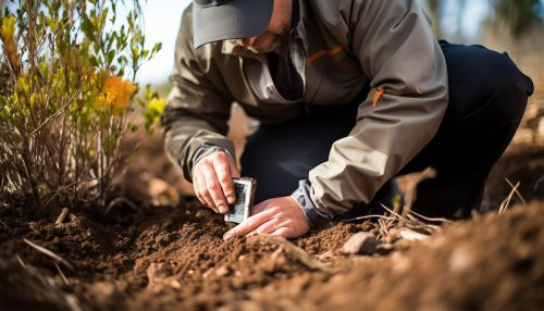
Geostatistics has been applied in various ways to predict soil erosion. These applications include mapping soil erosion risk, assessing the impact of land use changes on soil erosion, and evaluating the effectiveness of soil conservation measures.


Conclusion
Geostatistics plays a vital role in predicting soil erosion. It provides tools and techniques to analyze spatially distributed data, understand the spatial variability of soil properties, and analyze the factors influencing soil erosion. The application of geostatistical techniques, such as kriging, variograms, and geostatistical simulation, allows for accurate and reliable soil erosion predictions.
