The Role of Geostatistics in Predicting Sea Surface Temperature
Introduction
Geostatistics is a branch of statistics that deals with spatial or spatiotemporal datasets. Developed originally to predict probability distributions of ore grades for mining operations, it is currently applied in diverse disciplines including petroleum geology, hydrogeology, hydrology, meteorology, oceanography, geochemistry, geometallurgy, geography, forestry, environmental control, landscape ecology, soil science, and agriculture. In the context of oceanography, geostatistics plays a crucial role in predicting sea surface temperature (SST).


The Importance of Predicting Sea Surface Temperature
The sea surface temperature is a critical factor in the global climate system. It influences atmospheric circulation, cloud formation, and precipitation patterns. Accurate prediction of SST is essential for weather forecasting, climate modeling, and understanding the impacts of climate change. It also has significant implications for marine life, influencing the distribution and abundance of species, and is a vital parameter in fisheries management.
Geostatistics and Sea Surface Temperature
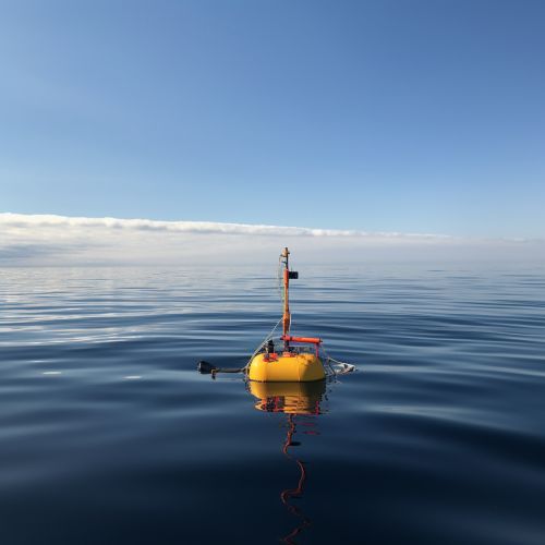
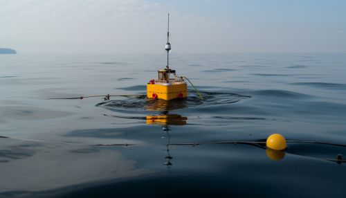
Geostatistics provides a set of statistical tools for analyzing and interpreting spatially correlated data. In the case of SST, geostatistics can be used to analyze temperature data collected from different locations across the ocean surface and predict temperatures in unobserved locations.
Spatial Correlation and Variogram Analysis
A key concept in geostatistics is spatial correlation, which refers to the degree of similarity between observations at different locations. This is quantified using a variogram, a plot that shows how the variance between pairs of observations changes with the distance between them. Variogram analysis is a fundamental step in geostatistical studies and provides valuable information about the spatial structure of the data.
Kriging
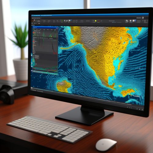
Kriging is a geostatistical interpolation method used to predict values at unobserved locations based on observed data. It takes into account the spatial correlation structure described by the variogram and provides the best linear unbiased prediction of the variable of interest. In the context of SST, kriging can be used to predict temperatures at locations where no measurements are available.
Applications of Geostatistics in Predicting Sea Surface Temperature
Geostatistical methods have been widely used in predicting SST. They provide a robust and flexible framework for analyzing and interpreting spatially distributed temperature data.
Climate Modeling
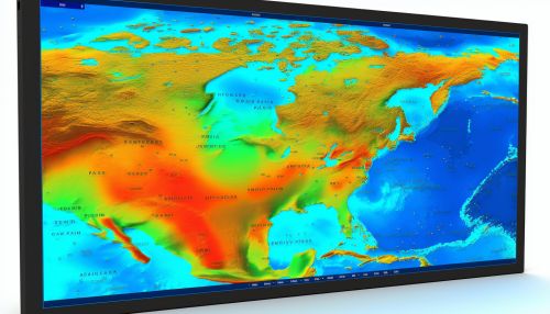
In climate modeling, geostatistical techniques are used to interpolate SST data from sparse observational networks. This allows for the creation of comprehensive SST datasets that can be used to drive atmospheric and oceanic circulation models.
Fisheries Management
In fisheries management, geostatistical prediction of SST can help identify suitable habitats for different species. This information can be used to manage fisheries more effectively and sustainably.
Environmental Monitoring
Geostatistical methods are also used in environmental monitoring to predict SST and identify areas of abnormal temperature, which could indicate environmental disturbances or changes in climate patterns.


Limitations and Challenges
While geostatistics provides powerful tools for predicting SST, there are several challenges and limitations. These include the need for large datasets, the complexity of the oceanic system, and the influence of various factors on SST.
Conclusion
Geostatistics plays a crucial role in predicting sea surface temperature. Its methods provide a robust and flexible framework for analyzing and interpreting spatially distributed temperature data. Despite some limitations and challenges, geostatistical prediction of SST has wide-ranging applications, from climate modeling to fisheries management and environmental monitoring.
