The Role of Geostatistics in Predicting Natural Disasters
Introduction
Geostatistics is a branch of statistics that deals with spatial or spatiotemporal datasets. It has been increasingly used in the prediction of natural disasters, providing a scientific basis for disaster prevention and mitigation. This article delves into the role of geostatistics in predicting natural disasters, exploring its methodologies, applications, and limitations.


Geostatistics: An Overview
Geostatistics originated from the mining and petroleum industries, where it was used to estimate the likely location of valuable resources. Today, it has evolved into a crucial tool in various fields, including environmental science, hydrology, and disaster management.
Methodologies in Geostatistics
Geostatistics employs a range of methodologies to analyze spatial data. These include:
Spatial Interpolation
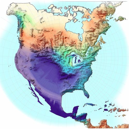
Spatial interpolation is a method used to estimate values at unmeasured locations based on values from measured locations. It is a fundamental technique in geostatistics and is often used in predicting natural disasters.
Variogram Analysis
Variogram analysis is another key methodology in geostatistics. It quantifies the spatial dependence of a variable, which is crucial in understanding and predicting the behavior of natural disasters.
Geostatistical Simulation
Geostatistical simulation is a technique used to generate multiple equally probable realizations of a spatial phenomenon. It is particularly useful in assessing uncertainty in disaster predictions.
Role in Predicting Natural Disasters
Geostatistics plays a significant role in predicting natural disasters. It provides a scientific basis for disaster prediction, helping to identify potential disaster areas and assess the likely severity of disasters.
Earthquake Prediction
Geostatistics is widely used in earthquake prediction. It helps in identifying seismic hotspots and assessing the probability of future seismic events.
Flood Forecasting
In flood forecasting, geostatistics aids in predicting the spatial distribution of rainfall and the likely extent of flooding.
Landslide Susceptibility Mapping
Geostatistics is also used in landslide susceptibility mapping, helping to identify areas at high risk of landslides.
Limitations of Geostatistics in Disaster Prediction
Despite its advantages, geostatistics also has limitations in predicting natural disasters. These include the inherent uncertainty in spatial data, the complexity of natural disasters, and the limitations of geostatistical models.
Conclusion
Geostatistics plays a crucial role in predicting natural disasters. It provides a scientific basis for disaster prediction, helping to identify potential disaster areas and assess the likely severity of disasters. However, it also has limitations, and its predictions should be used in conjunction with other disaster prediction methods.
