The Role of Geostatistics in Predicting Earthquake Occurrences
Introduction
Geostatistics is a branch of statistics focusing on spatial or spatiotemporal datasets. Developed originally to predict probability distributions of ore grades for mining operations, it is currently applied in diverse disciplines including petroleum geology, hydrogeology, meteorology, and epidemiology. Besides, it has increasingly been applied in the field of seismology to predict earthquake occurrences.

Geostatistics and Earthquake Prediction
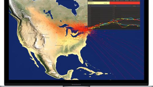
The prediction of earthquakes involves estimating the location and magnitude of future earthquakes within a specific area. Geostatistics plays a crucial role in this prediction process, providing a set of statistical tools for the analysis and interpretation of spatial data. These tools allow seismologists to analyze spatial patterns of past earthquakes and use these patterns to predict future earthquake occurrences.


Spatial Analysis
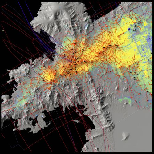
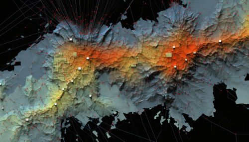
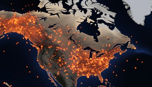
Spatial analysis is a type of geostatistical analysis that involves the study of spatial patterns of earthquakes. This involves the use of spatial autocorrelation measures, such as the Moran's I and Geary's C, to identify clusters of earthquake occurrences. These clusters can then be used to identify areas of increased seismic risk.
Temporal Analysis
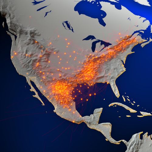
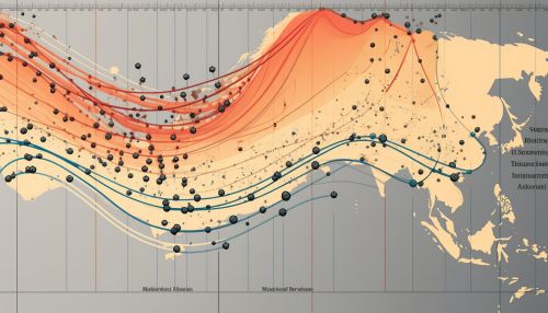
Temporal analysis involves the study of the timing and sequence of earthquake occurrences. This can involve the use of time series analysis techniques, such as ARIMA models, to predict the timing of future earthquakes. This can also involve the use of survival analysis techniques to estimate the probability of an earthquake occurring within a specific time period.

Spatiotemporal Analysis
Spatiotemporal analysis involves the study of both the spatial and temporal patterns of earthquake occurrences. This can involve the use of spatiotemporal autocorrelation measures, such as the Knox test and Mantel test, to identify spatiotemporal clusters of earthquake occurrences. These clusters can then be used to identify areas and times of increased seismic risk.
Limitations and Challenges
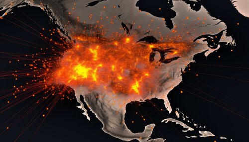
While geostatistics provides a powerful set of tools for the prediction of earthquake occurrences, there are several limitations and challenges that need to be considered. These include the inherent uncertainty in earthquake prediction, the complexity of seismic processes, and the limitations of available data.

Conclusion
Geostatistics plays a crucial role in the prediction of earthquake occurrences, providing a set of statistical tools for the analysis and interpretation of spatial and temporal earthquake data. While there are several limitations and challenges, the application of geostatistics in earthquake prediction continues to provide valuable insights into the spatial and temporal patterns of earthquake occurrences.
