The Role of Geostatistics in Predicting Crop Yield
Introduction
Geostatistics is a branch of statistics focusing on spatial or spatiotemporal datasets. Developed originally for the field of geology, geostatistics is a highly specialized discipline that plays a crucial role in predicting crop yield. This article delves into the intricacies of geostatistics and its application in agriculture, specifically in the prediction of crop yield.
Geostatistics: An Overview
Geostatistics is a statistical discipline that deals with the analysis of spatially referenced data. It involves the application of probabilistic models that recognize the spatial correlations among random variables. The primary objective of geostatistics is to predict the values of these variables at unobserved locations in space.
Role in Agriculture
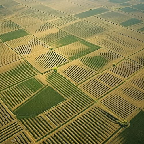
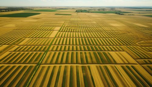
Agriculture is a field that is heavily dependent on the spatial distribution of various factors such as soil nutrients, moisture levels, and pest infestations. Geostatistics provides a mathematical framework to analyze and interpret the spatial variability of these factors, thereby playing a pivotal role in agricultural decision-making processes.
Predicting Crop Yield
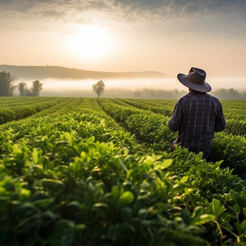
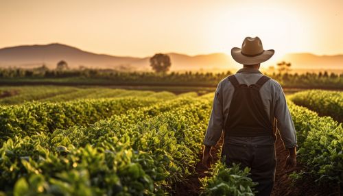
Crop yield prediction is a critical aspect of agricultural planning and management. It involves estimating the amount of crop that can be produced per unit area of land. Geostatistics aids in this prediction by providing a detailed understanding of the spatial variability of the factors influencing crop yield.
Factors Influencing Crop Yield
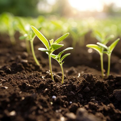
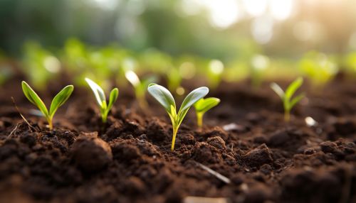
Several factors influence crop yield, including soil fertility, weather conditions, pest infestations, and farming practices. Geostatistics allows for the analysis of these factors in a spatial context, thereby facilitating more accurate predictions of crop yield.
Geostatistical Methods in Crop Yield Prediction
Geostatistical methods such as kriging and co-kriging are commonly used in crop yield prediction. These methods allow for the estimation of crop yield at unobserved locations based on observed data, taking into account the spatial correlation among the data points.

Benefits of Geostatistics in Crop Yield Prediction
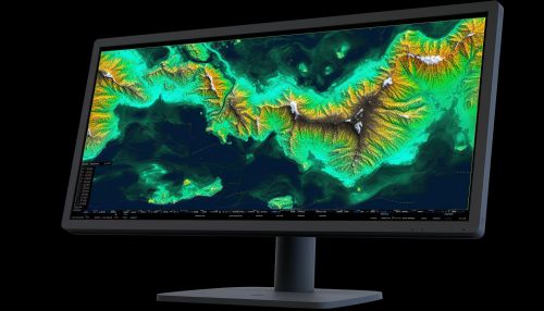
The use of geostatistics in crop yield prediction offers several benefits. It allows for a more accurate estimation of crop yield, which can aid in agricultural planning and management. Additionally, it can help in identifying areas of a field that are underperforming and may require additional attention or resources.
Challenges and Limitations
While geostatistics offers numerous benefits in crop yield prediction, it also has its challenges and limitations. These include the complexity of geostatistical models, the need for extensive data collection, and the difficulty in interpreting geostatistical results.
Future Directions
With advancements in technology and the increasing availability of spatial data, the role of geostatistics in predicting crop yield is expected to grow in the future. Developments in areas such as remote sensing and precision agriculture are likely to further enhance the utility of geostatistics in this field.
