The Role of Geostatistics in Landscape Fragmentation Analysis
Introduction
Geostatistics is a branch of statistics focusing on spatial or spatiotemporal datasets. Developed originally to predict probability distributions of ore grades for mining operations, it is currently applied in diverse disciplines including petroleum geology, hydrogeology, meteorology, and environmental science. In the context of landscape fragmentation analysis, geostatistics plays a crucial role in understanding the spatial patterns and processes that lead to fragmentation, and in predicting future trends.

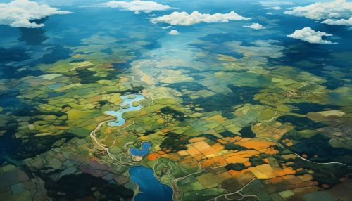
Geostatistics: An Overview
Geostatistics is based on statistical theory and mathematical preliminaries for structures in space (or space-time) and includes the technique of kriging. The principal idea behind geostatistics is a continuous variation in space and the quantification and modeling of spatial continuity with semivariograms. Geostatistics offers a range of applications from the estimation of resources to the prediction of environmental variables.
Landscape Fragmentation
Landscape fragmentation refers to the division of habitats, ecosystems, or land types into smaller parcels. This can occur naturally due to events such as forest fires or landslides, or it can be induced by human activities such as urban development, agriculture, or logging. Fragmentation has significant impacts on biodiversity, ecological processes, and the provision of ecosystem services.
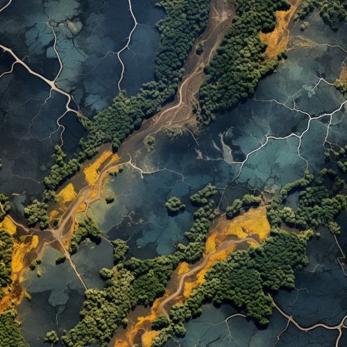
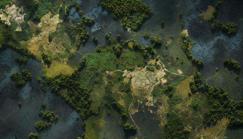
Role of Geostatistics in Landscape Fragmentation Analysis
Geostatistics provides a robust framework for analyzing landscape fragmentation. It allows for the quantification of spatial patterns of fragmentation, the identification of drivers of fragmentation, and the prediction of future fragmentation scenarios.
Quantifying Spatial Patterns of Fragmentation
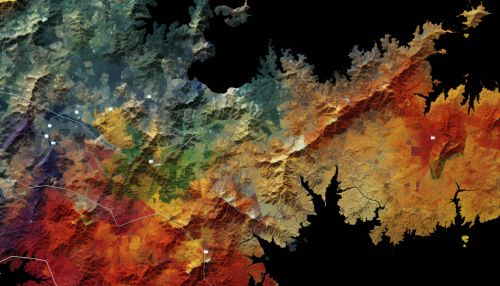
Geostatistics can be used to quantify the spatial patterns of landscape fragmentation. This involves the use of spatial statistics to analyze the distribution and configuration of fragmented landscapes. Measures such as patch size, patch shape, patch isolation, and patch connectivity can be calculated and mapped to provide a detailed understanding of the spatial structure of fragmented landscapes.
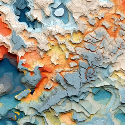
Identifying Drivers of Fragmentation
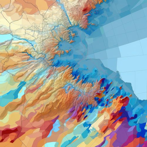
Geostatistics can also be used to identify the drivers of landscape fragmentation. By analyzing the spatial correlation between fragmentation patterns and potential drivers (e.g., land use, population density, road density), it is possible to identify the factors that are most strongly associated with fragmentation.
Predicting Future Fragmentation Scenarios
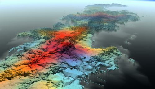
Another important application of geostatistics in landscape fragmentation analysis is the prediction of future fragmentation scenarios. Using geostatistical models, it is possible to predict how fragmentation patterns will change in the future under different scenarios (e.g., changes in land use, climate change). This can provide valuable information for land-use planning and conservation efforts.
Conclusion
In conclusion, geostatistics plays a pivotal role in landscape fragmentation analysis. It provides the tools to quantify spatial patterns of fragmentation, identify the drivers of fragmentation, and predict future fragmentation scenarios. As such, it is an indispensable tool for researchers and practitioners in fields such as landscape ecology, conservation biology, and land-use planning.
