The Role of Geostatistics in Land Degradation Assessment
Introduction
Geostatistics is a branch of statistics that deals with spatial or spatiotemporal datasets. It is a critical tool in the assessment of land degradation, providing a quantitative approach to the analysis of spatial patterns and processes. Geostatistics is used to estimate the spatial distribution of soil properties, vegetation cover, and other factors that contribute to land degradation. This article will delve into the role of geostatistics in land degradation assessment, exploring its methodologies, applications, and limitations. Read more about Geostatistics.


Geostatistics: An Overview
Geostatistics originated from the mining industry and has since been applied to a wide range of disciplines, including environmental science, hydrology, and agriculture. It uses statistical techniques to analyze spatially correlated data, such as soil properties or vegetation cover, and to predict values at unsampled locations. Read more about Spatial correlation.
Role in Land Degradation Assessment
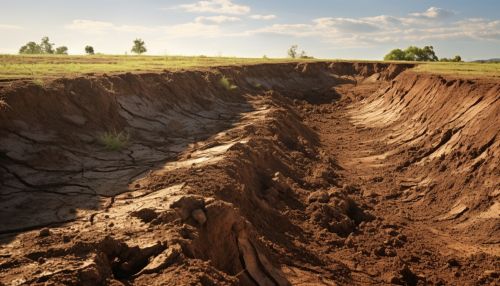
Land degradation is a global problem that affects the productivity and sustainability of natural resources. It is characterized by a decrease in the capacity of the land to provide ecosystem services, such as soil fertility, water regulation, and biodiversity. Geostatistics plays a crucial role in assessing land degradation by providing a quantitative framework for analyzing spatial patterns and processes. It allows for the estimation of soil properties, vegetation cover, and other factors that contribute to land degradation.


Soil Properties
Soil properties, such as texture, structure, and organic matter content, are key indicators of land degradation. Geostatistics is used to estimate the spatial distribution of these properties, providing valuable information for land management decisions. For example, kriging, a geostatistical interpolation method, can be used to predict soil properties at unsampled locations based on measurements taken at nearby locations. Read more about Kriging.
Vegetation Cover
Vegetation cover is another important indicator of land degradation. It provides a protective layer for the soil, preventing erosion and maintaining soil fertility. Geostatistics can be used to estimate the spatial distribution of vegetation cover, providing insights into areas of land degradation. For instance, geostatistical models can be used to analyze satellite imagery and predict vegetation cover at unsampled locations.


Other Factors
Other factors that contribute to land degradation, such as land use and climate, can also be analyzed using geostatistics. For example, geostatistical models can be used to analyze land use patterns and predict areas of potential land degradation. Similarly, geostatistics can be used to analyze climate data and predict areas at risk of drought, a major driver of land degradation.
Limitations of Geostatistics in Land Degradation Assessment
While geostatistics provides a powerful tool for land degradation assessment, it is not without limitations. One of the main challenges is the quality and availability of spatial data. Accurate geostatistical analysis requires high-quality, spatially representative data, which can be difficult to obtain, particularly in remote or inaccessible areas. Additionally, geostatistical models are based on assumptions about the spatial correlation of data, which may not always hold true. Despite these challenges, geostatistics remains a valuable tool in the assessment of land degradation.


Conclusion
Geostatistics plays a critical role in the assessment of land degradation, providing a quantitative approach to the analysis of spatial patterns and processes. By estimating the spatial distribution of soil properties, vegetation cover, and other factors, geostatistics provides valuable information for land management decisions and the development of strategies to combat land degradation. Despite its limitations, geostatistics remains a powerful tool in the fight against land degradation.
