The Role of Geostatistics in Hydrological Modeling
Introduction
Geostatistics is a branch of statistics that deals with spatial or spatiotemporal datasets. It has been increasingly applied in hydrology, the scientific study of the movement, distribution, and management of water on Earth and other planets. This article explores the role of geostatistics in hydrological modeling, a key tool in understanding and predicting water behavior in various environments.
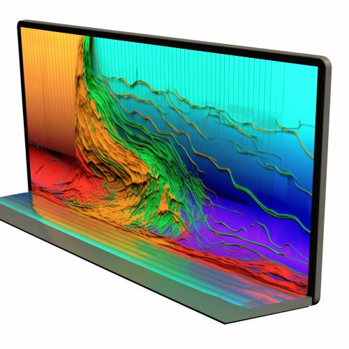
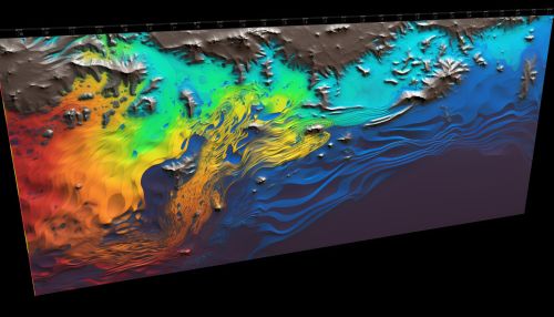
Geostatistics: An Overview
Geostatistics originated from the mining and petroleum industries, where it was used to predict the likely location of valuable resources. It employs mathematical techniques to model spatial phenomena and make predictions about unobserved locations based on observed data. Key concepts in geostatistics include spatial autocorrelation, variograms, and kriging, which are essential for understanding its application in hydrological modeling.
Hydrological Modeling
Hydrological modeling involves the use of mathematical equations to represent the processes that dictate the movement and distribution of water in the environment. These models can predict various hydrological phenomena such as rainfall, runoff, evaporation, and groundwater flow. They play a crucial role in water resource management, flood forecasting, and understanding the impacts of climate change on water systems.
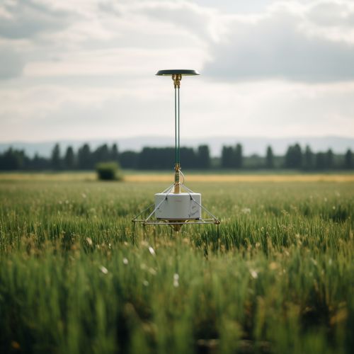
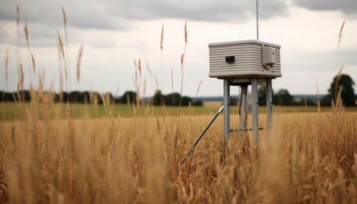
The Intersection of Geostatistics and Hydrological Modeling
The integration of geostatistics into hydrological modeling has revolutionized the way we understand and predict water behavior. Geostatistics provides a robust framework for analyzing and interpreting spatial data, which is crucial in hydrological studies.
Spatial Autocorrelation
Spatial autocorrelation, a fundamental concept in geostatistics, refers to the degree of correlation between measurements at different spatial locations. In hydrology, this concept is used to understand and predict how water variables such as precipitation, temperature, and soil moisture vary across a landscape.
Variograms
Variograms, another key geostatistical tool, are used to quantify the spatial dependence of hydrological variables. They provide a measure of the variability between pairs of data points as a function of the distance and direction separating them. Variograms are instrumental in understanding the spatial variability of hydrological processes and in developing effective hydrological models.
Kriging
Kriging is a geostatistical interpolation method that makes optimal, unbiased predictions at unsampled locations based on surrounding observed data. In hydrology, kriging is used to interpolate variables such as rainfall, soil moisture, and groundwater levels across a study area.

Applications of Geostatistics in Hydrological Modeling
Geostatistics has found wide application in various aspects of hydrological modeling. Some of these applications include:
Groundwater Modeling
Geostatistics is used extensively in groundwater modeling to predict the spatial distribution of aquifer properties and groundwater quality parameters. It also aids in the optimal design of monitoring networks and the assessment of uncertainty in model predictions.
Surface Water Modeling
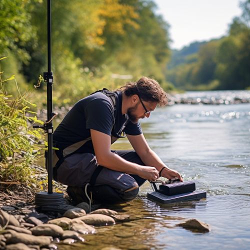
In surface water modeling, geostatistics is used to interpolate river flows, water quality parameters, and sediment loads. It also aids in the spatial analysis of rainfall and evaporation data, which are crucial inputs for surface water models.
Soil Moisture Modeling
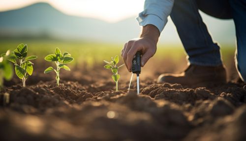
Geostatistics is used in soil moisture modeling to interpolate soil moisture content across a landscape based on point measurements. This is crucial for predicting runoff generation and for modeling the exchange of water and energy between the land surface and the atmosphere.

Conclusion
The integration of geostatistics into hydrological modeling has significantly improved our ability to understand and predict water behavior in various environments. By providing robust tools for analyzing and interpreting spatial data, geostatistics has become an indispensable part of modern hydrology.
