The Role of Geoinformatics in Urban Planning
Introduction
Geoinformatics, often referred to as geospatial information science, is a discipline that uses a comprehensive, geographically-referenced digital data to study a vast array of phenomena. It is a field that combines geospatial analysis and modeling, development of geospatial databases, information systems design, human-computer interaction and both wired and wireless networking technologies. Geoinformatics has been increasingly recognized as a vital tool in urban planning, a process concerned with the use of land, protection and use of the environment, public welfare, and the design of the urban environment, including air, water, and the infrastructure passing into and out of urban areas.


Role of Geoinformatics in Urban Planning
Urban planning involves the strategic management of the development of cities, towns, and other urban areas. It requires the collection and analysis of extensive data on various aspects of the urban environment. This is where geoinformatics comes into play. It provides the necessary tools to collect, store, analyze and visualize spatial data, making it easier for urban planners to make informed decisions.
Data Collection and Storage
Geoinformatics allows for the efficient collection and storage of spatial data. This data can come from a variety of sources, such as satellite imagery, aerial photography, and ground surveys. The data is stored in a GIS, a system designed to capture, store, manipulate, analyze, manage, and present all types of geographical data. This system is an essential tool in urban planning as it allows for the integration of different types of data in one place.


Analysis and Visualization
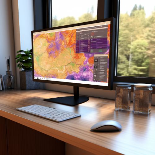
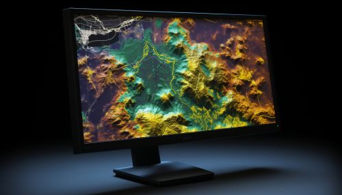
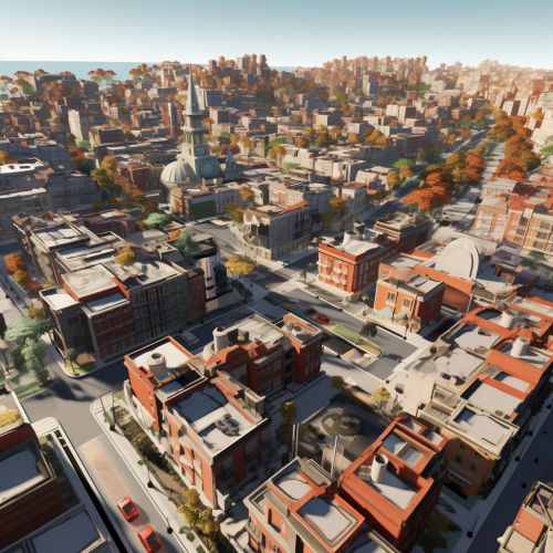
One of the main advantages of geoinformatics in urban planning is its ability to analyze and visualize spatial data. GIS software can perform complex analyses of spatial data, identifying patterns and trends that might not be immediately apparent. This can help urban planners identify areas of need, predict future trends, and make informed decisions about urban development. Furthermore, geoinformatics allows for the visualization of this data in the form of maps and 3D models, making it easier for non-experts to understand the data and the conclusions drawn from it.


Decision-Making
Geoinformatics plays a crucial role in the decision-making process in urban planning. By providing a comprehensive view of the urban environment, it allows planners to make informed decisions about land use, infrastructure development, environmental protection, and more. For example, by analyzing spatial data on population density, traffic patterns, and public transportation routes, planners can determine the best locations for new housing developments, roads, and transit hubs.


Challenges and Future Directions
Despite the many advantages of using geoinformatics in urban planning, there are also several challenges. These include the need for high-quality, up-to-date spatial data, the complexity of the software and analyses, and the need for trained personnel. Additionally, there are ethical considerations related to privacy and data security.
Looking forward, it is expected that the role of geoinformatics in urban planning will continue to grow. Advances in technology, such as the development of more sophisticated GIS software and the increasing availability of high-resolution satellite imagery, will likely make geoinformatics even more integral to the urban planning process. Furthermore, the growing awareness of the importance of sustainable development and the need for evidence-based decision-making will likely increase the demand for the skills and tools provided by geoinformatics.


