The Role of Geoinformatics in Urban Noise Pollution Mapping
Introduction
Geoinformatics, a discipline that combines geospatial analysis and informatics, plays a pivotal role in urban noise pollution mapping. It provides a scientific and systematic approach to gather, manage, interpret, and present geospatial data related to noise pollution in urban areas. This article delves into the intricate details of how geoinformatics is utilized in mapping urban noise pollution, the methodologies involved, and the implications of these studies.
Understanding Geoinformatics
Geoinformatics is a multidisciplinary field that uses information science to better understand the problems associated with geography, geosciences, and related branches of engineering. It involves the collection, classification, manipulation, storage, retrieval, and dissemination of geospatial data, using information technology tools and techniques.


Role of Geoinformatics in Urban Noise Pollution Mapping
The application of geoinformatics in urban noise pollution mapping is extensive. It aids in the collection, analysis, and visualization of noise data, thereby enabling the creation of detailed noise maps. These maps are crucial in identifying noise hotspots, understanding the spatial distribution of noise pollution, and formulating effective noise management strategies.
Data Collection
The first step in the process involves the collection of noise data. This is typically done using noise monitoring stations or portable noise meters placed at strategic locations across the urban area. The data collected includes the decibel levels of noise at different times of the day and night, the source of the noise, and other relevant details. Geoinformatics helps in determining the optimal locations for these monitoring stations to ensure comprehensive coverage of the urban area.


Data Analysis
Once the data is collected, it is analyzed using geospatial analysis tools. This involves the use of Geographic Information System (GIS) software, which allows for the manipulation and analysis of the geospatial data. The noise data is overlaid on a digital map of the urban area, allowing for a visual representation of the noise levels across the city. This helps in identifying areas with high noise pollution levels, often referred to as noise hotspots.


Noise Mapping
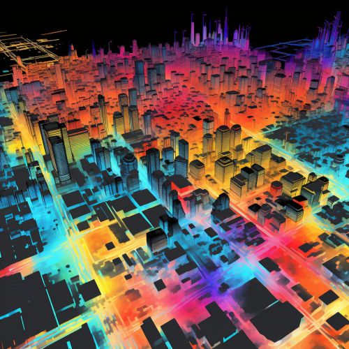
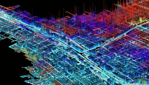
The analyzed data is then used to create noise maps. These maps provide a visual representation of the noise pollution levels across the urban area. They can be color-coded to indicate different noise levels, making it easy to identify areas with high noise pollution. The maps can also include additional information, such as the source of the noise, to provide a comprehensive understanding of the noise pollution scenario in the urban area.


Implications of Urban Noise Pollution Mapping
Urban noise pollution mapping has several implications. It aids in the formulation of noise management strategies, informs urban planning and development, and raises public awareness about noise pollution.
Noise Management
Noise maps serve as an essential tool for policymakers and city administrators in formulating effective noise management strategies. They provide a clear picture of the noise pollution scenario in the city, helping identify areas that require immediate attention. Based on these maps, noise mitigation measures, such as the installation of noise barriers or the regulation of noise-producing activities, can be implemented in targeted areas.
Urban Planning and Development
Noise maps also play a crucial role in urban planning and development. They can inform the design of new residential areas, ensuring they are located away from noise hotspots. Similarly, they can guide the placement of noise-producing establishments, such as factories or busy roads, away from residential areas. This can significantly improve the quality of life for urban residents by reducing their exposure to high noise levels.


Public Awareness
Finally, noise maps can help raise public awareness about noise pollution. By making these maps publicly available, residents can gain a better understanding of the noise pollution levels in their city. This can encourage them to take personal measures to reduce noise pollution, such as limiting the use of loud machinery or advocating for noise regulations in their community.
Conclusion
Geoinformatics plays a crucial role in urban noise pollution mapping. It aids in the collection, analysis, and visualization of noise data, enabling the creation of detailed noise maps. These maps are instrumental in formulating effective noise management strategies, informing urban planning and development, and raising public awareness about noise pollution. As urban areas continue to grow and evolve, the role of geoinformatics in noise pollution mapping will only become more significant.
