The Role of Geoinformatics in Urban Air Quality Monitoring
Introduction
Geoinformatics, a discipline that combines geosciences and informatics, plays a crucial role in urban air quality monitoring. This field uses Geographic Information Systems (GIS) and remote sensing technologies to collect, analyze, and visualize data related to the Earth's surface and atmosphere. In the context of urban air quality monitoring, geoinformatics provides tools and techniques for tracking air pollution levels, identifying pollution sources, and predicting future air quality conditions.


Geoinformatics and Air Quality Monitoring
Geoinformatics is a powerful tool in the field of air quality monitoring. It allows for the collection and analysis of large volumes of data, which can then be used to monitor and predict air pollution levels. This is particularly important in urban areas, where air pollution can have significant impacts on human health and the environment.
Data Collection
Data collection is a fundamental aspect of geoinformatics. In the context of air quality monitoring, data can be collected from a variety of sources, including ground-based monitoring stations, satellite imagery, and Air Quality Indices (AQIs). These data sources provide information on various air pollutants, such as particulate matter (PM), nitrogen dioxide (NO2), and ozone (O3).


Data Analysis
Once collected, the data must be analyzed to provide meaningful insights into air quality conditions. This involves the use of statistical and computational methods to identify patterns and trends in the data. For example, geoinformatics can be used to identify areas of high pollution, track changes in air quality over time, and predict future air quality conditions.


Visualization
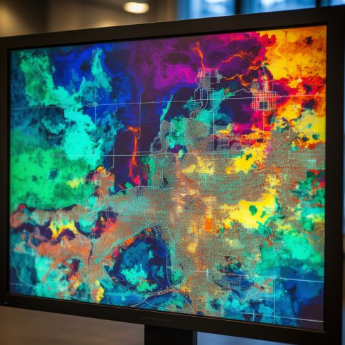
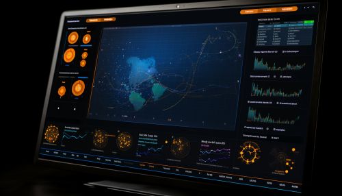
Visualization is another important aspect of geoinformatics. It involves the use of graphical representations to make complex data more understandable. In the context of air quality monitoring, visualization techniques can be used to create maps and charts that show pollution levels across different areas. This can help policymakers and the public understand the extent of air pollution problems and identify areas that require intervention.


Applications of Geoinformatics in Urban Air Quality Monitoring
Geoinformatics has a wide range of applications in urban air quality monitoring. These include tracking pollution sources, predicting future air quality conditions, and informing policy decisions.
Tracking Pollution Sources
One of the key applications of geoinformatics in air quality monitoring is the identification and tracking of pollution sources. By analyzing spatial and temporal data, geoinformatics can help identify the main sources of air pollution in an urban area. This information can then be used to develop strategies for reducing pollution levels.


Predicting Future Air Quality Conditions
Geoinformatics can also be used to predict future air quality conditions. This involves the use of predictive modeling techniques, which use historical data to forecast future conditions. These models can help policymakers and the public prepare for potential air quality issues and take proactive measures to mitigate them.


Informing Policy Decisions
The insights gained from geoinformatics can also inform policy decisions related to air quality. For example, data on pollution sources and trends can help policymakers identify the most effective strategies for reducing air pollution. Additionally, predictive models can provide information on the potential impacts of different policy options, helping decision-makers choose the most beneficial course of action.


Conclusion
In conclusion, geoinformatics plays a crucial role in urban air quality monitoring. Through data collection, analysis, and visualization, this field provides valuable insights into air pollution levels, sources, and trends. These insights can inform policy decisions, helping to improve air quality and protect public health in urban areas.
