The Role of Geoinformatics in Predicting Volcanic Eruptions
Introduction
Geoinformatics, a discipline that combines geoscience, computer science, and information science, plays a crucial role in predicting volcanic eruptions. This field utilizes various technologies such as Geographic Information Systems (GIS), remote sensing, and GPS to collect, analyze, and interpret geographical data, which is essential in understanding volcanic activities and forecasting eruptions.
Geoinformatics and Volcanology
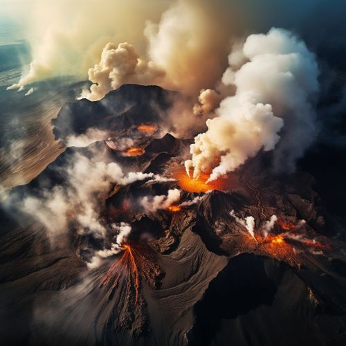
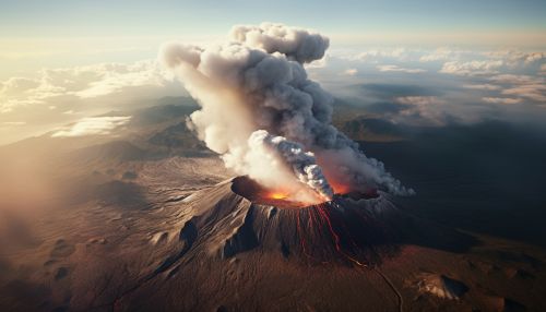
Geoinformatics has significantly transformed the field of volcanology, providing tools and techniques that enable scientists to monitor and analyze volcanic activities more accurately and efficiently. These technologies facilitate the collection of a vast amount of data from different sources, including satellite images, aerial surveys, and ground-based measurements, which are crucial in understanding the behavior of volcanoes and predicting potential eruptions.
Geographic Information Systems (GIS)
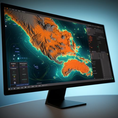
GIS is a powerful tool in geoinformatics that allows scientists to visualize, analyze, and interpret geographical data. In volcanology, GIS is used to create detailed maps of volcanic areas, showing various features such as the location of the volcano, its size, the type of volcano, and the surrounding topography. This information is vital in assessing the potential impact of an eruption, including the areas that would be most affected by lava flows, ash fall, and other volcanic hazards.
Remote Sensing
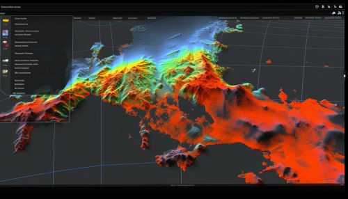
Remote sensing is another key technology in geoinformatics that involves the use of satellites or aircraft to collect data about the Earth's surface. In the context of volcanology, remote sensing provides valuable information about the thermal, chemical, and physical properties of volcanoes, which can help predict an impending eruption. For instance, an increase in the surface temperature of a volcano may indicate that magma is rising to the surface, signaling a potential eruption.
Global Positioning System (GPS)
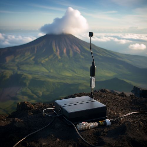
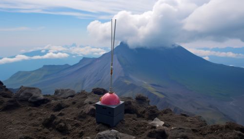
GPS technology is used in geoinformatics to monitor the deformation of the Earth's crust caused by volcanic activities. By placing GPS receivers around a volcano, scientists can detect even the slightest movements of the ground, which may suggest that magma is accumulating beneath the surface. This information can provide early warning of an impending eruption, allowing authorities to take necessary precautions to protect lives and property.
Challenges and Future Directions
Despite the significant advancements in geoinformatics, predicting volcanic eruptions remains a complex task due to the unpredictable nature of volcanoes. However, with continuous improvements in technology and data analysis techniques, the accuracy and reliability of eruption forecasts are expected to improve. Future research in geoinformatics is likely to focus on developing more sophisticated models to simulate volcanic processes, integrating various data sources for a more comprehensive understanding of volcanic behavior, and enhancing the capabilities of remote sensing and GIS technologies.
