The Role of Geoinformatics in Predicting Urban Heat Islands
Introduction
Geoinformatics, a discipline that combines geospatial analysis and informatics, plays a crucial role in predicting urban heat islands (UHIs). UHIs refer to urban or metropolitan areas that are significantly warmer than their surrounding rural areas due to human activities. The prediction of UHIs is crucial in urban planning and environmental management. This article will delve into the role of geoinformatics in predicting UHIs, providing a comprehensive and detailed analysis of the subject.


Geoinformatics: An Overview
Geoinformatics is a field of study that uses information science to address the problems of geography, cartography, geosciences, and related branches of science and engineering. It encompasses a variety of tools and techniques including Geographic Information Systems (GIS), Remote Sensing (RS), and Global Positioning System (GPS), among others. These tools are used to collect, store, manage, and analyze geographic data, enabling researchers to capture, store, manipulate, analyze, manage, and present all types of spatial or geographical data.
Urban Heat Islands: An Overview
Urban heat islands are metropolitan areas that are significantly warmer than their surrounding rural areas. The temperature difference usually is larger at night than during the day, and is most apparent when winds are weak. UHIs can impact communities by increasing summertime peak energy demand, air conditioning costs, air pollution levels, and heat-related illness and mortality.
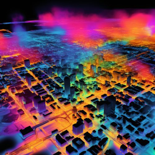
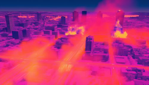
Role of Geoinformatics in Predicting Urban Heat Islands
The application of geoinformatics in predicting UHIs involves the use of GIS, RS, and other geospatial technologies. These tools allow researchers to analyze urban thermal characteristics and the spatial distribution of UHIs, providing valuable data for urban planning and environmental management.
Geographic Information Systems
GIS is a powerful tool used in the prediction of UHIs. It allows for the analysis of spatial data, providing a visual representation of data and enabling researchers to see patterns and relationships that may not be apparent in raw data. For instance, GIS can be used to map the distribution of land use types, vegetation cover, and building materials in an urban area, all of which can influence the formation of UHIs.


Remote Sensing
RS is another crucial tool in the prediction of UHIs. It involves the collection of data about an object or phenomenon without making physical contact with the object. In the context of UHIs, RS can be used to collect data about the temperature, albedo, and emissivity of different surfaces in an urban area. This data can then be analyzed to predict the formation of UHIs.


Other Geospatial Technologies
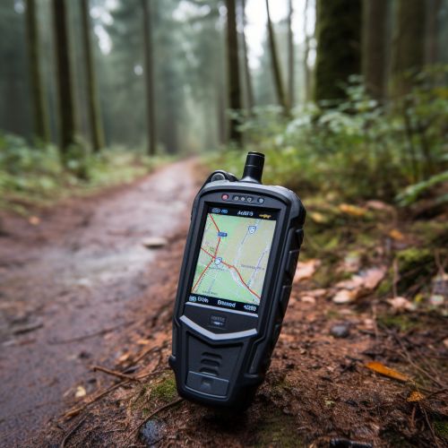
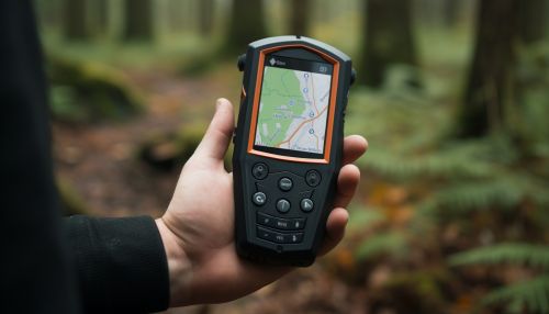
Other geospatial technologies such as GPS and digital elevation models (DEMs) can also play a role in predicting UHIs. For instance, GPS can be used to collect location data for field surveys, while DEMs can be used to analyze the impact of topography on the formation of UHIs.
Conclusion
In conclusion, geoinformatics plays a vital role in predicting urban heat islands. The use of GIS, RS, and other geospatial technologies allows for the collection, analysis, and visualization of data related to UHIs, providing valuable information for urban planning and environmental management. As urban areas continue to expand and the effects of climate change become more pronounced, the role of geoinformatics in predicting UHIs is likely to become increasingly important.
