The Role of Geoinformatics in Predicting Tsunamis
Introduction
Geoinformatics, a discipline that combines geosciences and informatics, plays a crucial role in predicting tsunamis. It involves the use of digital data and technologies to understand and visualize geographical phenomena. Tsunamis, being one of the most devastating natural disasters, require precise prediction to mitigate their impacts. Geoinformatics provides tools and techniques for collecting, analyzing, and interpreting data related to the earth's surface, which is vital in predicting tsunamis.


Geoinformatics and Its Importance
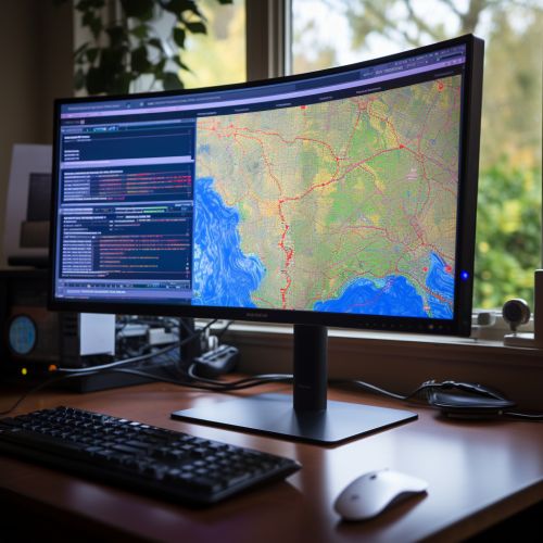
Geoinformatics, also known as geographic information science, is a field that uses information technology to study problems that have a geographical or spatial aspect. It involves the use of GIS, remote sensing, and global positioning systems (GPS) to collect, store, manage, and analyze geographic data. This data can be used to create maps, models, and simulations that can help predict natural disasters like tsunamis.
Tsunamis: An Overview
A tsunami is a series of ocean waves with very long wavelengths, typically caused by large-scale disturbances of the ocean, such as earthquakes, volcanic eruptions, and landslides. These waves can travel across the ocean at high speeds and cause widespread destruction when they reach land. The ability to predict tsunamis accurately and provide early warnings can save countless lives and significantly reduce property damage.


The Role of Geoinformatics in Tsunami Prediction
Geoinformatics plays a crucial role in tsunami prediction by providing the tools and techniques needed to collect and analyze data related to the earth's surface and the ocean. This data can be used to create models and simulations that can predict when and where a tsunami might occur.
Data Collection
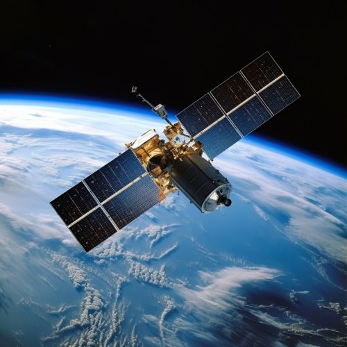
Geoinformatics tools like GIS, remote sensing, and GPS are used to collect data on the earth's surface and the ocean. This data can include information on the topography of the ocean floor, the location and magnitude of earthquakes, and the movement of tectonic plates.
Data Analysis
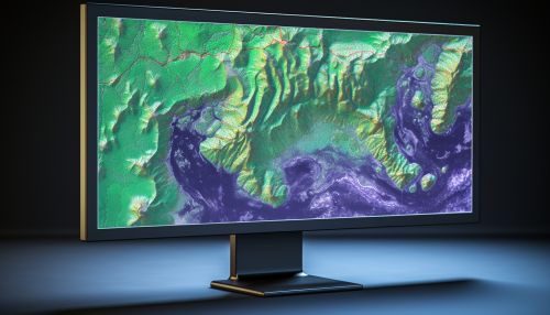
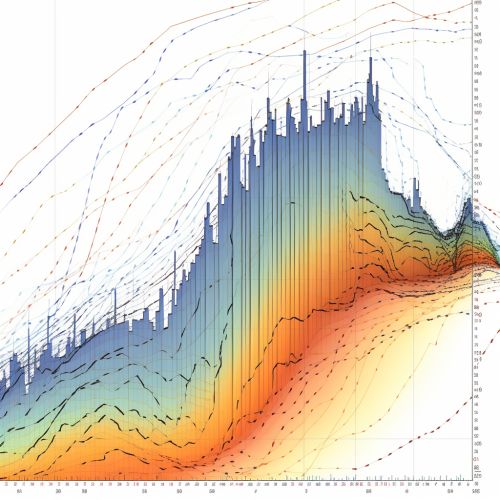
Once the data has been collected, it can be analyzed using geoinformatics techniques. This can involve creating maps and models of the ocean floor, analyzing seismic data to detect earthquakes, and using computer simulations to predict how a tsunami might spread across the ocean.
Tsunami Prediction
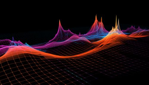
The data and analysis provided by geoinformatics can be used to predict tsunamis. This can involve using computer models to simulate how a tsunami might spread across the ocean, predicting the likely impact area, and providing early warnings to those in the path of the tsunami.

Limitations and Challenges
While geoinformatics plays a crucial role in tsunami prediction, it also faces several limitations and challenges. These include the difficulty of collecting accurate data on the ocean floor, the complexity of predicting the behavior of tsunamis, and the need for high-speed data processing and communication to provide timely warnings.
Conclusion
Despite these challenges, geoinformatics continues to play a vital role in predicting tsunamis and mitigating their impacts. As technology advances and our understanding of tsunamis improves, the role of geoinformatics in tsunami prediction is likely to become even more important.
