The Role of Geoinformatics in Predicting Glacial Melting
Introduction
Geoinformatics, a discipline that utilizes geospatial technologies to analyze geographical data, has become an essential tool in predicting glacial melting. This field combines geospatial analysis, remote sensing, and geographic information systems (GIS) to study the Earth's physical features and processes, including the behavior of glaciers.
Geoinformatics: An Overview
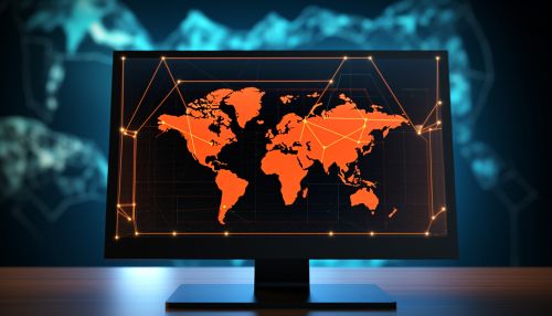
Geoinformatics is a multidisciplinary field that uses computer science, information science, and geosciences to study geographical phenomena. It employs various technologies, such as remote sensing, GIS, and Global Positioning System (GPS), to collect, analyze, and visualize geographical data.

Geoinformatics and Glacial Studies
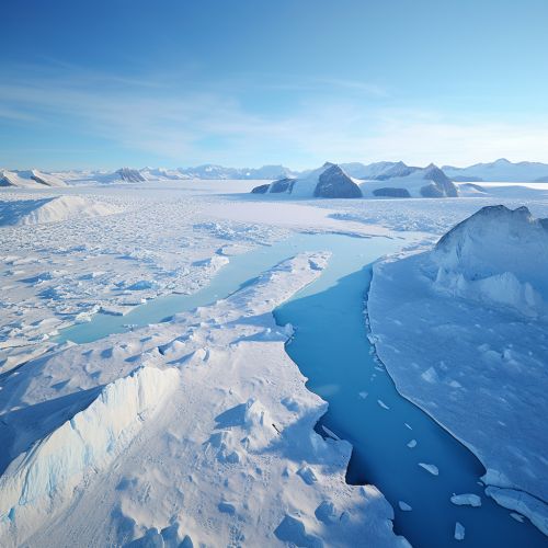
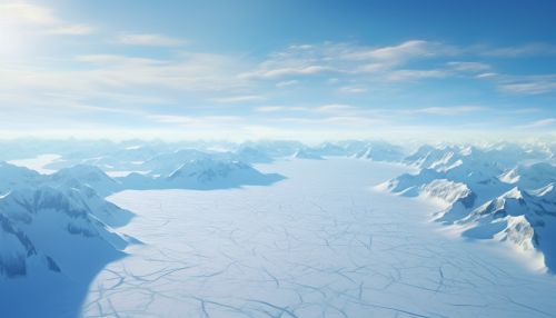
In the context of glacial studies, geoinformatics provides a comprehensive approach to understanding the dynamics of glaciers. It enables scientists to monitor and predict changes in glacier volume, extent, and velocity, which are crucial in assessing the impacts of climate change.
Remote Sensing in Glacial Studies
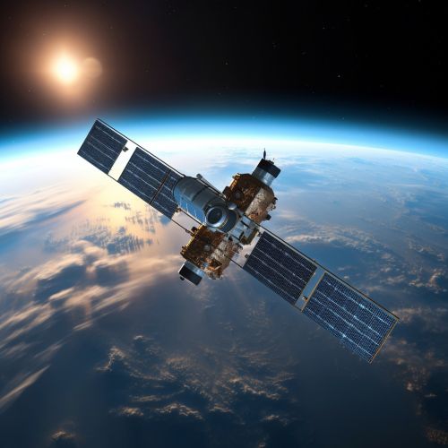
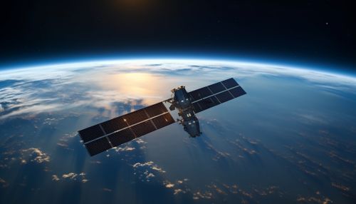
Remote sensing, a key component of geoinformatics, involves the acquisition of information about an object or phenomenon without making physical contact. In glacial studies, remote sensing technologies, such as satellites and drones, are used to capture images and data of glaciers. This information is then analyzed to determine changes in glacier size, shape, and movement.
Geographic Information Systems in Glacial Studies
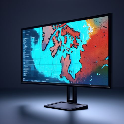
Geographic Information Systems (GIS) are computer systems used to capture, store, check, and display data related to positions on the Earth's surface. In glacial studies, GIS is used to create detailed maps and models of glaciers, allowing scientists to analyze spatial relationships and trends.

Predicting Glacial Melting
The application of geoinformatics in predicting glacial melting involves the use of remote sensing and GIS to monitor changes in glacier parameters, such as area, volume, and velocity. These parameters are then used in mathematical models to predict future glacier behavior, including the rate and extent of melting.
Monitoring Glacier Parameters
The first step in predicting glacial melting is to monitor changes in glacier parameters. This is achieved through the use of remote sensing technologies, which capture images and data of glaciers over time. The collected data is then analyzed using GIS to determine changes in glacier size, shape, and movement.


Mathematical Modeling of Glacial Behavior
Once the glacier parameters have been determined, they are used in mathematical models to predict future glacier behavior. These models take into account various factors, such as temperature, precipitation, and solar radiation, to predict the rate and extent of glacial melting.

Impact of Glacial Melting
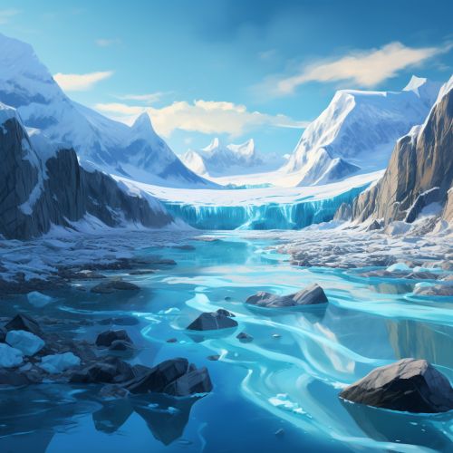
The melting of glaciers has significant impacts on the global climate, sea level, and freshwater supply. Predicting these impacts is crucial for climate change mitigation and adaptation strategies.
Conclusion
Geoinformatics plays a crucial role in predicting glacial melting. Through the use of remote sensing and GIS, it provides a comprehensive approach to monitoring and modeling glacier behavior. This information is vital in assessing the impacts of climate change and developing effective mitigation and adaptation strategies.
