The Role of Geodesy in Satellite Navigation
Introduction
Geodesy, the scientific discipline that deals with the measurement and representation of the Earth, plays a pivotal role in the field of satellite navigation. This article delves into the intricate relationship between geodesy and satellite navigation, exploring the fundamental concepts, methodologies, and applications of geodesy in the development and operation of satellite navigation systems.
Geodesy: An Overview
Geodesy is a branch of earth sciences that deals with the study of Earth's shape, size, orientation, gravity field, and their changes over time. It is an ancient discipline, with roots tracing back to the time when early civilizations attempted to measure the Earth. In the modern context, geodesy has evolved into a sophisticated field of study, leveraging advanced technologies such as satellite systems, laser ranging, and computer processing.

Satellite navigation refers to the system of using satellites to provide autonomous geo-spatial positioning. It allows small electronic receivers to determine their location (longitude, latitude, and altitude) to within a few meters using time signals transmitted along a line of sight by radio from satellites. GPS (Global Positioning System) is the most widely recognized satellite navigation system.
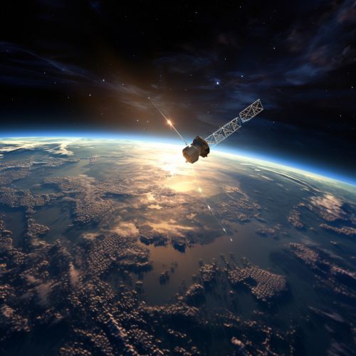

The intersection of geodesy and satellite navigation is a rich and complex field of study. The principles and techniques of geodesy are fundamental to the operation of satellite navigation systems. Conversely, satellite navigation systems provide valuable data that enhance the accuracy and efficiency of geodetic measurements.
Satellite navigation systems rely heavily on geodetic principles. The positioning process involves determining the receiver's location relative to the satellites, which requires knowledge of the satellites' orbits and the Earth's shape and gravity field. These are fundamental aspects of geodesy.

Conversely, satellite navigation systems have revolutionized geodetic measurements. GPS, for instance, has become a standard tool in geodesy for precise positioning and measuring Earth's shape and gravity field. The high-precision timing and positioning data provided by these systems have significantly enhanced the accuracy and efficiency of geodetic measurements.

Geodesy's applications in satellite navigation are vast and varied, ranging from the design and operation of satellite systems to the development of navigation applications.
Design and Operation of Satellite Systems
Geodesy plays a crucial role in the design and operation of satellite navigation systems. The determination of satellite orbits, a fundamental aspect of these systems, relies on geodetic principles. Furthermore, the Earth's shape and gravity field, which are central to geodesy, are critical factors in the propagation of satellite signals.


Geodesy also contributes to the development of navigation applications. The precise positioning data provided by satellite navigation systems, combined with geodetic models of the Earth, enable the creation of accurate and reliable navigation applications for various sectors, including transportation, surveying, and emergency services.


Conclusion
In conclusion, geodesy plays a pivotal role in satellite navigation, contributing to the design and operation of satellite systems and the development of navigation applications. The intersection of these two fields is a testament to the power of interdisciplinary collaboration in advancing our understanding of the world and enhancing our technological capabilities.
