The Role of Geodesy in Earthquake Monitoring
Introduction
Geodesy, the scientific discipline that deals with the measurement and representation of the Earth, plays a crucial role in earthquake monitoring. It provides the tools and techniques necessary to measure the Earth's shape, orientation in space, and gravity field, all of which are essential in understanding seismic activity.


Geodesy and Earthquake Monitoring
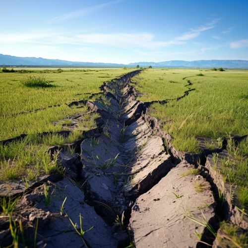
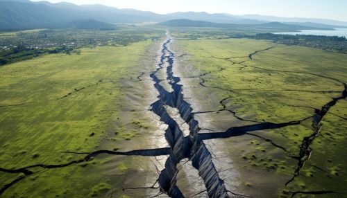
Geodesy contributes to earthquake monitoring in several ways. First, it enables the precise measurement of the Earth's shape and changes in its shape over time. This is crucial because earthquakes result from the release of energy stored in the Earth's crust due to tectonic forces. By monitoring changes in the Earth's shape, geodesists can detect the buildup of strain in the crust that precedes an earthquake.
Second, geodesy provides the means to measure the Earth's orientation in space. This is important because the Earth's rotation can affect seismic activity. For example, changes in the Earth's rotation can trigger earthquakes in areas where the crust is already under strain.
Third, geodesy contributes to our understanding of the Earth's gravity field. This is relevant to earthquake monitoring because variations in the gravity field can indicate changes in the distribution of mass within the Earth, which can be associated with seismic activity.


Geodetic Techniques in Earthquake Monitoring
Several geodetic techniques are used in earthquake monitoring. These include Global Navigation Satellite System (GNSS) positioning, Interferometric synthetic-aperture radar (InSAR), and gravity measurements.
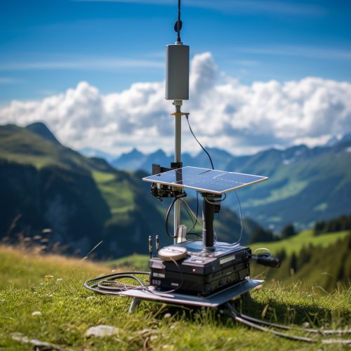
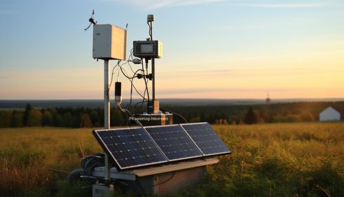
GNSS positioning involves the use of satellite signals to determine the precise location of a point on the Earth's surface. This technique can detect movements of the Earth's crust that are as small as a few millimeters. In earthquake monitoring, GNSS positioning is used to measure crustal deformation that occurs before, during, and after earthquakes.
InSAR is a technique that uses radar signals from satellites to create images of the Earth's surface. These images can reveal changes in the Earth's surface that occur as a result of seismic activity. InSAR has been used to map the deformation caused by major earthquakes, providing valuable information about the earthquake's source and the distribution of slip along the fault.
Gravity measurements are used to detect changes in the Earth's gravity field that can be associated with seismic activity. These measurements can be made using gravimeters, which are instruments that measure the strength of the gravitational force at a particular location.
Role of Geodesy in Earthquake Prediction
While predicting the exact time, location, and magnitude of an earthquake remains beyond the reach of current science, geodesy contributes to efforts to forecast earthquakes. By monitoring changes in the Earth's shape, orientation, and gravity field, geodesists can identify areas where the crust is under strain and where an earthquake is therefore more likely to occur.


Conclusion
In conclusion, geodesy plays a vital role in earthquake monitoring. It provides the tools and techniques necessary to measure the Earth's shape, orientation, and gravity field, and to detect changes in these parameters that can be associated with seismic activity. Through its contributions to earthquake monitoring, geodesy helps to improve our understanding of earthquakes and our ability to forecast them.
