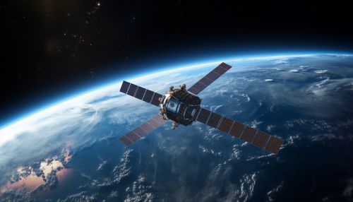
Earth Observing System
Overview
The Earth Observing System (EOS) is a program of National Aeronautics and Space Administration that aims to understand the complex global climate system by observing the Earth's atmosphere, surface, and oceans. The EOS program is a major component of NASA's Earth Science Enterprise (ESE), which seeks to develop a scientific understanding of the Earth system and its response to natural and human-induced changes.
History
The EOS program was conceived in the 1980s as a major component of the Mission to Planet Earth (MTPE), a NASA initiative that aimed to use space-based observations to gain a comprehensive understanding of the Earth system. The program was officially launched in 1990, with the goal of developing a coordinated series of polar-orbiting and low inclination satellites for long-term global observations of the land surface, biosphere, solid Earth, atmosphere, and oceans.
Satellite Missions
The EOS program includes a series of satellite missions, each designed to study different aspects of the Earth system. These missions include:
Terra
Launched in 1999, the Terra satellite is the flagship of the EOS program. It carries five instruments that observe the Earth's atmosphere, land, and oceans, providing data on a wide range of Earth system variables.
Aqua
The Aqua satellite, launched in 2002, carries six instruments that observe the Earth's water cycle, including evaporation from the oceans, water vapor in the atmosphere, clouds, precipitation, soil moisture, sea ice, land ice, and snow cover.
Aura
The Aura satellite, launched in 2004, focuses on the Earth's atmosphere. It carries four instruments that measure atmospheric composition, chemistry, and dynamics, providing data on ozone, aerosols, and key gases that affect the Earth's climate.
ICESat
The Ice, Cloud, and land Elevation Satellite (ICESat), launched in 2003, uses a laser altimeter to measure the Earth's ice sheet mass balance, cloud and aerosol heights, as well as land topography and vegetation characteristics.
ICESat-2
Launched in 2018, ICESat-2 is the follow-on mission to ICESat, continuing its measurements of ice sheet elevation change and sea-ice thickness.
Data and Information System
The EOS Data and Information System (EOSDIS) is a key component of the EOS program. It provides end-to-end capabilities for managing, processing, archiving and distributing data from NASA's Earth Science missions. The data from EOS satellite missions are freely available to the public and are used by scientists worldwide to study climate change, natural disasters, and other Earth system phenomena.
Impact and Legacy
The EOS program has made significant contributions to our understanding of the Earth system. The data from EOS satellite missions have been used in thousands of scientific studies, improving our knowledge of how the Earth's atmosphere, oceans, and land surface interact, and how they are affected by human activities. The EOS program has also played a key role in the development of Earth system models, which are used to predict future changes in climate and other Earth system phenomena.


