Moderate Resolution Imaging Spectroradiometer
Overview
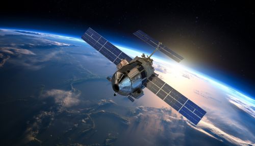
The Moderate Resolution Imaging Spectroradiometer (MODIS) is a payload scientific instrument launched into Earth's orbit by NASA on board the Terra (EOS AM) satellite in 1999, and Aqua (EOS PM) satellite in 2002. It captures data in 36 spectral bands ranging in wavelength from 0.4 μm to 14.4 μm and at varying spatial resolutions (2 bands at 250 m, 5 bands at 500 m and 29 bands at 1 km). MODIS has been designed to measure large-scale global dynamics including changes in Earth's cloud cover, radiation budget, and processes occurring in the oceans, on land, and in the lower atmosphere.


Design and Development
The development of MODIS was managed by NASA's Goddard Space Flight Center. The instrument was designed to provide measurements in large spatial scale to enable long-term climate studies. It has a viewing swath width of 2,330 km which allows it to achieve near-global coverage every 1 to 2 days. The MODIS instrument includes a system for radiometric calibration to ensure data accuracy, and a system for geolocation that allows precise location tagging of each pixel of data.
Data Collection and Processing
MODIS collects data in 36 spectral bands, or windows, ranging in wavelength from 0.4 μm to 14.4 μm. The data are processed by the MODIS Adaptive Processing System (MODAPS), which is located at the Goddard Space Flight Center. MODAPS generates a variety of products including calibrated radiances, geolocation fields, cloud mask, atmospheric profiles, land surface reflectance, vegetation indices, ocean color, and sea surface temperature.
Applications
Data from MODIS has been used in a wide range of environmental research and monitoring applications. These include studies of changes in land cover, biodiversity, and climate change. MODIS data has also been used in practical applications such as forest fire detection, crop yield prediction, and disaster management.
Legacy and Impact
The MODIS instrument has significantly contributed to our understanding of the Earth system. Its data have been used in thousands of scientific papers and have been instrumental in the development of many operational environmental monitoring applications. The success of MODIS has led to the development of follow-on instruments such as the Visible Infrared Imaging Radiometer Suite (VIIRS) on the Joint Polar Satellite System (JPSS) series of satellites.
