Remote Sensing in Disaster Prediction
Introduction
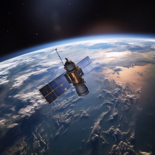
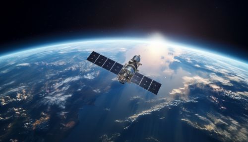
Remote sensing is a scientific method that involves obtaining information about objects or areas from a distance, typically from aircraft or satellites. In the context of disaster prediction, remote sensing technologies can provide valuable data and insights that can help predict, monitor, and manage disasters more effectively.
Types of Remote Sensing Technologies
There are several types of remote sensing technologies that are commonly used in disaster prediction. These include:
- Radar: This technology uses radio waves to determine the range, angle, or velocity of objects. It can be used to detect and track severe weather conditions such as storms and hurricanes.
- Lidar: This technology uses light from a laser to measure distances to a target. It can be used to create detailed maps of the Earth's surface, which can be useful in predicting landslides and other geological disasters.
- Satellite imagery: This involves capturing images of the Earth from space. These images can be used to monitor changes in the environment that could indicate an impending disaster.
- Thermal imaging: This technology detects heat emitted by objects. It can be used to monitor volcanic activity and forest fires.


Applications of Remote Sensing in Disaster Prediction
Remote sensing technologies have a wide range of applications in disaster prediction. Some of the key applications include:
- Weather forecasting: Remote sensing technologies such as radar and satellite imagery are extensively used in weather forecasting. They can provide real-time data on weather conditions, which can help predict severe weather events such as storms, hurricanes, and tornadoes.
- Earthquake prediction: While predicting earthquakes with precision is still a challenge, remote sensing technologies can help detect changes in the Earth's crust that could indicate an impending earthquake. For example, satellite imagery can be used to monitor ground deformation, which could be a sign of tectonic activity.
- Landslide prediction: Remote sensing technologies like Lidar can be used to create detailed maps of the Earth's surface. These maps can help identify areas that are prone to landslides, allowing for early warning and evacuation.
- Volcano monitoring: Remote sensing technologies can be used to monitor volcanic activity. For example, thermal imaging can detect heat emitted by a volcano, which could indicate an impending eruption.
- Flood prediction: Remote sensing technologies can help predict floods by providing data on rainfall, soil moisture, and river levels. This information can be used to create flood forecasts and issue early warnings.
Challenges and Limitations
While remote sensing technologies have significantly improved our ability to predict disasters, there are still several challenges and limitations. These include:
- Data accuracy: The accuracy of remote sensing data can be affected by various factors, including the quality of the sensors, atmospheric conditions, and the complexity of the terrain.
- Data interpretation: Interpreting remote sensing data requires specialized knowledge and skills. Misinterpretation of the data can lead to inaccurate predictions.
- Cost: The cost of remote sensing technologies can be prohibitive, especially for developing countries that are often the most vulnerable to disasters.
- Data availability: While remote sensing data is becoming increasingly available, there are still gaps in coverage, especially in remote and underdeveloped areas.
Future Directions
Despite these challenges, the field of remote sensing in disaster prediction continues to evolve and improve. Future directions may include the development of more accurate and affordable sensors, the integration of remote sensing data with other types of data for more accurate predictions, and the use of artificial intelligence and machine learning to automate the interpretation of remote sensing data.
