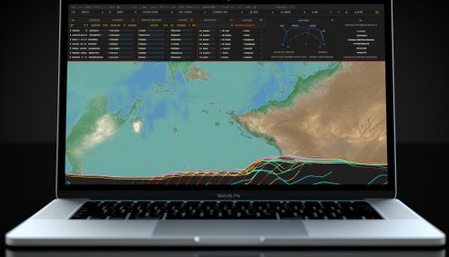
Flood prediction
Introduction
Flood prediction is a branch of hydrology that involves the forecasting of the occurrence, magnitude, and timing of water flow, particularly in rivers and streams. It is a critical aspect of disaster management, as it helps in the preparation for, and mitigation of, the impacts of flood events.


Understanding Floods
Floods are natural disasters that occur when water overflows onto normally dry land. This can be due to a variety of factors, including heavy rainfall, rapid snowmelt, or the failure of man-made structures like dams. Understanding the various causes and types of floods is essential in flood prediction.
Causes of Floods
The primary cause of floods is excessive rainfall. When the amount of rain exceeds the capacity of the soil to absorb it and the capacity of rivers to carry it away, flooding occurs. Other causes include rapid snowmelt, especially in mountainous regions, and the failure of dams or other water containment structures.
Types of Floods
There are several types of floods, each with unique characteristics that influence how they are predicted. Riverine floods occur when a river overflows its banks, while flash floods are sudden and unexpected, often occurring in dry regions with little warning. Coastal floods are caused by storm surges or high tides, and urban floods occur in cities where the drainage systems are overwhelmed by heavy rainfall.
Flood Prediction Methods
Flood prediction involves a combination of meteorological data, hydrological models, and geographical information. The goal is to accurately predict when and where a flood will occur, its magnitude, and its potential impacts.
Meteorological Data
Meteorological data is the foundation of flood prediction. This includes information about current and forecasted weather conditions, such as rainfall amounts, wind speed and direction, temperature, and humidity. This data is collected from a variety of sources, including weather stations, satellites, and radar systems.
Hydrological Models
Hydrological models are mathematical representations of the water cycle and how it interacts with the land surface. These models take in meteorological data and use it to simulate the movement of water through the environment. The output of these models can be used to predict the likelihood of a flood occurring.
Geographical Information Systems
Geographical Information Systems (GIS) are used to map and analyze the physical characteristics of the area at risk of flooding. This can include information about the topography, soil type, vegetation cover, and the location of man-made structures. GIS can also be used to model the potential impacts of a flood, such as the extent of the floodplain and the number of properties at risk.
Flood Warning Systems
Flood warning systems are a critical component of flood prediction. These systems take the predictions made by meteorologists and hydrologists and communicate them to the public and emergency services. This allows for timely evacuations and other preparatory measures to be taken.
Components of a Flood Warning System
A flood warning system consists of several components. The data collection component involves the gathering of meteorological and hydrological data. The data analysis component involves the use of this data to make flood predictions. The warning dissemination component involves the communication of these predictions to the public and emergency services.
Types of Flood Warnings
There are several types of flood warnings, each with a different level of urgency. Flood watches are issued when conditions are favorable for flooding, but it is not yet certain to occur. Flood warnings are issued when a flood is imminent or already occurring. Flash flood warnings are issued when a flash flood is imminent or already occurring, and immediate action is needed due to the rapid onset of flooding.
Future of Flood Prediction
Advancements in technology and our understanding of the climate system are continually improving the accuracy and timeliness of flood predictions. Future developments in flood prediction may include the increased use of machine learning algorithms, improved data collection techniques, and the integration of social and economic factors into flood risk assessments.
