MapInfo
Overview
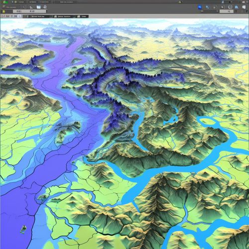
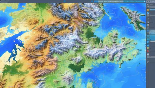
MapInfo is a geographic information system (GIS) software developed by Pitney Bowes Software (formerly MapInfo Corporation) and used for mapping and location analysis. The software allows users to visualize, analyze, interpret, understand and output data to reveal relationships, patterns, and trends. MapInfo allows users to explore spatial data within a dataset, symbolize features, and create maps GIS.
History
MapInfo Corporation, the original developers of MapInfo, was founded in 1986. The company was a pioneer in the GIS software industry. MapInfo and its suite of products were designed to provide easy-to-use, powerful, and affordable solutions for computer mapping needs. In 1990, the company went public and continued to grow, both in terms of revenue and product offerings. In 2007, MapInfo Corporation was acquired by Pitney Bowes, and the software was subsequently renamed Pitney Bowes MapInfo Pitney Bowes Software.
Features
MapInfo provides a range of features that allow users to manipulate and analyze spatial data. These features include:
- Data Visualization: MapInfo provides powerful data visualization tools, allowing users to create thematic maps that display data in a spatial context Data Visualization.
- Data Analysis: The software offers a range of data analysis tools, including spatial and attribute queries, buffer and proximity analysis, and more Data Analysis.
- Data Management: MapInfo supports a wide range of data formats, including raster and vector data, tabular data, and more. It also provides tools for data editing and management Data Management.
- Map Creation: Users can create maps with a range of cartographic features, including legends, scale bars, and more. MapInfo also supports printing and map output to a range of formats Map Creation.


Applications
MapInfo is used in a variety of industries and sectors for a range of applications. These include:
- Urban Planning: MapInfo is used by urban planners to analyze land use, infrastructure, and demographic data, and to create maps for planning purposes Urban Planning.
- Environmental Management: Environmental scientists use MapInfo to analyze environmental data and create maps that help in managing and protecting the environment Environmental Management.
- Transportation: The software is used in the transportation sector for route planning, logistics, and analysis of transportation networks Transportation.
- Public Safety: MapInfo is used in public safety for emergency planning, crime analysis, and more Public Safety.
