Land navigation
Introduction
Land navigation, also known as orienteering, is a skill set that involves determining one's position, planning a route, and successfully moving from one location to another. It is a fundamental aspect of outdoor recreation, military tactics, and search and rescue operations. This article will delve into the principles, techniques, and tools used in land navigation, providing a comprehensive guide for both beginners and experts.
Land navigation is based on three basic principles: location determination, route planning, and movement.
Location Determination
Determining one's location is the first step in land navigation. This can be done using various methods, including map reading, GPS, and celestial navigation.


Route Planning
Once the current location is determined, the next step is to plan a route to the desired destination. This involves studying the terrain, identifying landmarks, and choosing the most efficient path.
Movement
The final principle of land navigation is movement. This involves following the planned route, using navigational tools and techniques to stay on course, and constantly checking one's position to avoid getting lost.
There are several techniques used in land navigation, including map reading, compass use, and GPS navigation.
Map Reading
Map reading is a fundamental skill in land navigation. It involves understanding map symbols, scales, and contours, and using these to determine one's location and plan a route.
Compass Use
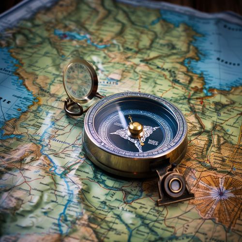
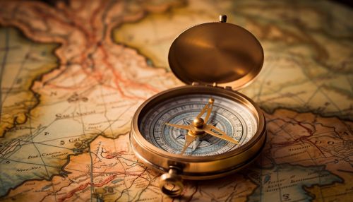
A compass is a vital tool in land navigation. It is used to determine directions and bearings, and to orient a map to the surrounding terrain.
GPS navigation is a modern technique that uses satellite signals to determine one's exact location. It is a highly accurate method, but it relies on having a functioning GPS device and a clear signal.
Several tools are commonly used in land navigation, including maps, compasses, and GPS devices.
Maps
A map is a visual representation of an area, showing physical features, roads, and landmarks. There are several types of maps used in land navigation, including topographic maps, road maps, and satellite maps.
Compasses
A compass is a navigational instrument that shows the cardinal directions (north, east, south, and west). It is used in conjunction with a map to determine directions and bearings.
GPS Devices
A GPS device is a modern navigational tool that uses satellite signals to determine one's exact location. It can also provide information on speed, direction of travel, and distance to a destination.
Despite the availability of modern tools and techniques, land navigation can still present several challenges. These include dealing with difficult terrain, weather conditions, and equipment failure.
Conclusion
Land navigation is a vital skill for anyone involved in outdoor activities, military operations, or search and rescue. By understanding its principles, mastering its techniques, and using the right tools, one can navigate any terrain with confidence and accuracy.
