Orienteering
Introduction
Orienteering is a group of sports that require navigational skills using a map and compass to navigate from point to point in diverse and usually unfamiliar terrain. Participants are given a topographical map, usually a specially prepared orienteering map, which they use to find control points. Originally a training exercise in land navigation for military officers, orienteering has developed many variations. Among these, the oldest and the most popular is foot orienteering. For the purposes of this article, orienteering refers to the foot orienteering.
History
The history of orienteering begins in the late 19th century in Sweden, where it originated as military training. The actual term "orienteering" was first used in 1886 and meant the crossing of unknown land with the aid of a map and a compass. The first orienteering competition open to the public was held in Norway in 1897. From the beginning, locations selected for orienteering have been chosen for their beauty, natural or man-made, or for their history.
Orienteering Maps
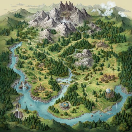
Orienteering maps are topographic maps specially prepared for use in orienteering competitions. They are more detailed and more accurate than general-purpose topographic maps, and they also show features not normally included on other maps, such as detailed vegetation boundaries, individual large trees, small paths, and boulders. The map is usually combined with control descriptions, which describe the control points that are to be visited.


Orienteering Skills
Orienteering involves a number of skills, including map reading, compass use, and route choice. It also requires physical fitness, as the sport involves a significant amount of running or walking, often in rough terrain.
Map Reading
The ability to read and interpret the map is the most fundamental skill in orienteering. The map provides all the information needed to navigate from the start to the finish, visiting all the control points in between.
Compass Use
The compass is used in conjunction with the map to determine the direction of travel. While the map shows the relative positions of the control points, the compass shows the absolute direction to the next control point.
Route Choice
Route choice involves deciding the best path to take from one control point to the next. This decision is based on a number of factors, including the distance, the climb, the type of terrain, and the competitor's own physical condition and skills.
Variations of Orienteering
There are many variations of orienteering, which add different challenges and require different skills. These include mountain bike orienteering, ski orienteering, and radio orienteering.
Mountain Bike Orienteering
Mountain bike orienteering (MTBO) is a form of orienteering on a mountain bike where navigation is done along trails and tracks. Compared with foot orienteering, the navigation is simpler; the rider needs to choose when to leave the track, and which fork to take at junctions.
Ski Orienteering
Ski orienteering (SkiO) is a form of orienteering on skis. It combines navigation with cross-country skiing. The map is designed so that the fastest route is along the network of tracks, but competitors must choose their route and navigate while moving at speed.
Radio Orienteering
Radio orienteering, also known as Amateur Radio Direction Finding (ARDF), is an amateur racing sport that combines radio direction finding with the skills of orienteering. It is a timed race in which individual competitors use a topographic map and a magnetic compass to navigate through diverse wooded terrain while searching for radio transmitters.
