LORAN
Overview
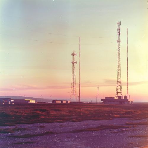
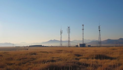
LORAN (Long Range Navigation) is a terrestrial navigation system that uses low-frequency radio transmitters to provide navigational aid. Developed during World War II, it was primarily used by the U.S. Navy to provide long-range navigation for both oceanic and coastal navigation, as well as for the positioning of strategic assets.


History
The concept of LORAN originated during the early days of World War II. The need for a reliable, long-range navigation system was evident, and thus the development of LORAN began. The system was initially developed by the MIT's Radiation Laboratory, with the first operational LORAN-A stations being established in 1942.
Technical Details
LORAN operates by transmitting radio signals from multiple transmitters, known as a chain. These signals are then received by a LORAN receiver on board a vessel or aircraft. The receiver measures the time delay between the signals from different stations, which is then used to calculate the receiver's position.
LORAN Systems
Over the years, several versions of LORAN have been developed, each with improvements over the previous versions. These include LORAN-A, LORAN-B, LORAN-C, and LORAN-D. The most widely used version was LORAN-C, which provided coverage over North America, Europe, and parts of Asia.
Applications
LORAN has been used in a variety of applications, including maritime and aviation navigation, timekeeping, and scientific research. Despite the advent of satellite-based navigation systems like GPS, LORAN remains in use in some parts of the world due to its robustness and resistance to jamming.
Future of LORAN
With the advent of more advanced navigation systems, the use of LORAN has declined. However, there is renewed interest in LORAN as a backup to GPS, due to the vulnerabilities of satellite-based systems. This has led to the development of eLORAN, an enhanced version of LORAN-C, which is being considered for use in several countries.
