GPS Drawing
Introduction
GPS Drawing is an artistic practice that combines technology, creativity, and physical activity. It involves using a GPS device to track and record movements, which are then converted into digital drawings. This art form has gained popularity due to its unique blend of technology and creativity, and its ability to transform everyday movements into visual art.


History
GPS Drawing was first introduced in the late 1990s, with the advent of consumer-grade GPS devices. The concept was pioneered by artists such as Jeremy Wood, who began experimenting with GPS technology to create drawings. Wood's early works were simple line drawings, but as GPS technology improved, so did the complexity of his art. Today, GPS Drawing is a recognized art form, with works being exhibited in galleries and museums around the world.
Technique
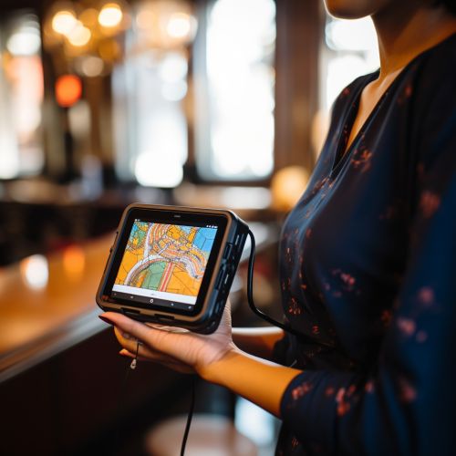
The technique of GPS Drawing involves using a GPS device to track and record movements. The device records the artist's location at regular intervals, creating a series of points that can be connected to form a drawing. The drawing can be viewed on a digital map, with the artist's path represented as a line.
The process of creating a GPS Drawing can be as simple or as complex as the artist desires. Some artists choose to create intricate designs, planning their movements carefully to achieve the desired effect. Others prefer a more spontaneous approach, allowing their movements to be guided by the environment and their intuition.
Applications
While GPS Drawing is primarily an art form, it has also found applications in other fields. In education, for example, it can be used as a tool to teach students about geography and mapping. In sports, athletes can use GPS Drawing to track their routes and analyze their performance. In urban planning, it can be used to visualize pedestrian traffic and identify areas of congestion.
Challenges
Despite its many benefits, GPS Drawing also presents a number of challenges. One of the main challenges is the accuracy of GPS devices. Even small errors in location data can have a significant impact on the final drawing. Another challenge is the physical effort required to create a drawing. Depending on the complexity of the design, a GPS Drawing can involve hours of walking, running, or cycling.
Future of GPS Drawing
The future of GPS Drawing looks promising, with advances in technology opening up new possibilities for this art form. Improvements in GPS accuracy and the development of wearable technology could allow for more detailed and complex drawings. Additionally, the growing popularity of augmented reality could provide new ways to view and interact with GPS Drawings.
