Indian Regional Navigation Satellite System: Difference between revisions
(Created page with "== Introduction == The Indian Regional Navigation Satellite System (IRNSS), also known as NavIC (Navigation with Indian Constellation), is an autonomous satellite navigation system developed by the Indian Space Research Organisation (ISRO). Its primary objective is to provide accurate position information services to users in India and the surrounding region, extending up to 1,500 km from its borders. == Background == The need for an indigenous navigation system was fel...") |
No edit summary |
||
| Line 20: | Line 20: | ||
These satellites are positioned to ensure continuous coverage over the Indian subcontinent. The geostationary satellites are located at 32.5°E, 83°E, and 131.5°E, while the geosynchronous satellites are positioned at 55°E and 111.75°E with an inclination of 29°. | These satellites are positioned to ensure continuous coverage over the Indian subcontinent. The geostationary satellites are located at 32.5°E, 83°E, and 131.5°E, while the geosynchronous satellites are positioned at 55°E and 111.75°E with an inclination of 29°. | ||
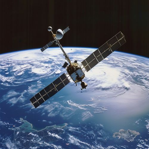
[[Image:Detail-97363.jpg|thumb|center|A satellite in space with Earth in the background.|class=only_on_mobile]] | |||
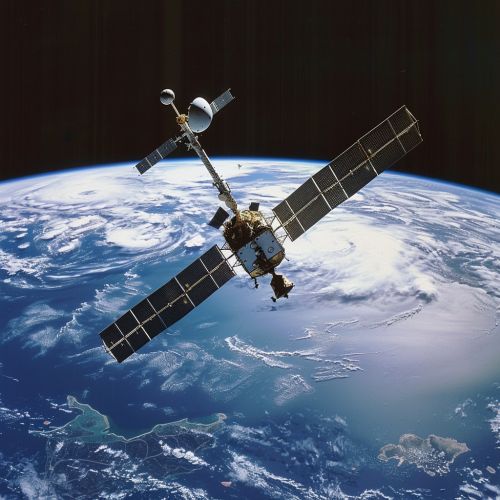
[[Image:Detail-97364.jpg|thumb|center|A satellite in space with Earth in the background.|class=only_on_desktop]] | |||
=== Ground Segment === | === Ground Segment === | ||
Latest revision as of 14:33, 27 July 2024
Introduction
The Indian Regional Navigation Satellite System (IRNSS), also known as NavIC (Navigation with Indian Constellation), is an autonomous satellite navigation system developed by the Indian Space Research Organisation (ISRO). Its primary objective is to provide accurate position information services to users in India and the surrounding region, extending up to 1,500 km from its borders.
Background
The need for an indigenous navigation system was felt after the Kargil War in 1999 when the United States denied India access to the Global Positioning System (GPS) during a critical phase of the conflict. This led to the conceptualization of IRNSS in 2006, with the aim of reducing dependency on foreign navigation systems and enhancing national security.
System Architecture
IRNSS consists of a constellation of seven satellites, three of which are in geostationary orbit (GEO) and four in geosynchronous orbit (GSO). The system also includes ground segments for control, monitoring, and user segments that consist of receivers capable of processing IRNSS signals.
Space Segment
The space segment of IRNSS comprises seven satellites:
- IRNSS-1A
- IRNSS-1B
- IRNSS-1C
- IRNSS-1D
- IRNSS-1E
- IRNSS-1F
- IRNSS-1G
These satellites are positioned to ensure continuous coverage over the Indian subcontinent. The geostationary satellites are located at 32.5°E, 83°E, and 131.5°E, while the geosynchronous satellites are positioned at 55°E and 111.75°E with an inclination of 29°.


Ground Segment
The ground segment includes:
- Master Control Center (MCC)
- Ground stations for satellite control and monitoring
- Timing centers
- Range and Integrity Monitoring Stations (RIMS)
The MCC is responsible for the overall management of the IRNSS constellation, including orbit determination, satellite maintenance, and system integrity.
User Segment
The user segment consists of IRNSS receivers, which can be integrated into various platforms such as mobile phones, vehicles, and maritime vessels. These receivers are designed to process signals from the IRNSS satellites to provide accurate position, navigation, and timing (PNT) information.
Signal Structure
IRNSS provides two types of services:
- Standard Positioning Service (SPS)
- Restricted Service (RS)
The SPS is available to all users, while the RS is an encrypted service intended for authorized users, such as the military and other strategic sectors. The system operates in the L5 (1176.45 MHz) and S (2492.028 MHz) frequency bands, providing dual-frequency capability to mitigate ionospheric errors.
Applications
IRNSS has a wide range of applications, including:
- Terrestrial, aerial, and marine navigation
- Disaster management
- Vehicle tracking and fleet management
- Precise timing
- Mapping and geodetic data capture
- Terrestrial navigation aid for hikers and travelers
- Visual and voice navigation for drivers
Performance and Accuracy
IRNSS is designed to provide position accuracy better than 20 meters in the primary service area. The system's performance is continuously monitored and improved through the ground segment infrastructure, ensuring high reliability and integrity.
Future Developments
ISRO plans to enhance the IRNSS system by adding more satellites to the constellation and upgrading the ground segment infrastructure. Future developments also include expanding the coverage area and improving signal accuracy to meet the growing demands of various user segments.
Challenges
Despite its successes, IRNSS faces several challenges, including:
- Technological advancements in competing global navigation satellite systems (GNSS) like GPS, GLONASS, Galileo, and BeiDou.
- The need for continuous funding and support for maintenance and upgrades.
- Ensuring widespread adoption and integration of IRNSS receivers in consumer and industrial applications.
Conclusion
The Indian Regional Navigation Satellite System represents a significant achievement for India's space program, providing an independent and reliable navigation solution for the region. As the system continues to evolve, it is expected to play a crucial role in various sectors, enhancing national security and contributing to economic growth.
