GRS 80: Difference between revisions
No edit summary |
No edit summary |
||
| Line 43: | Line 43: | ||
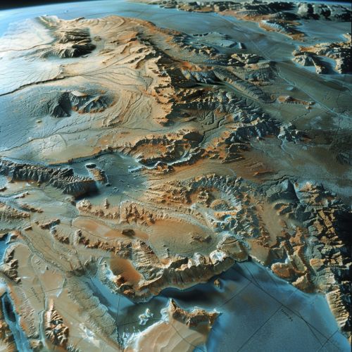
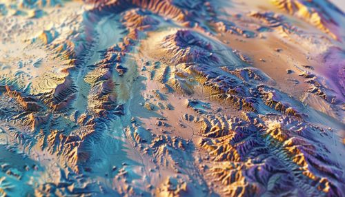
In Earth observation, GRS 80 is used to interpret data from remote sensing instruments. The reference system allows for the accurate georeferencing of images and other data, enabling precise analysis and interpretation. | In Earth observation, GRS 80 is used to interpret data from remote sensing instruments. The reference system allows for the accurate georeferencing of images and other data, enabling precise analysis and interpretation. | ||
[[Image:Detail-79683.jpg|thumb|center|Detailed image of the Earth's surface, showing various geographical features.]] | [[Image:Detail-79683.jpg|thumb|center|Detailed image of the Earth's surface, showing various geographical features.|class=only_on_mobile]] | ||
[[Image:Detail-79684.jpg|thumb|center|Detailed image of the Earth's surface, showing various geographical features.|class=only_on_desktop]] | |||
== Comparison with Other Reference Systems == | == Comparison with Other Reference Systems == | ||
Latest revision as of 16:23, 19 May 2024
Introduction
The Geodetic Reference System 1980 (GRS 80) is a global reference system that was adopted by the International Union of Geodesy and Geophysics (IUGG) in 1979. It is a standard for the shape and size of the Earth, as well as its gravitational field. GRS 80 is widely used in geodesy, geophysics, and other Earth sciences for precise measurements and calculations.
Historical Background
The development of GRS 80 was motivated by the need for a more accurate and consistent reference system for geodetic and geophysical applications. Prior to GRS 80, various reference systems were used, leading to inconsistencies in measurements and data interpretation. The adoption of GRS 80 marked a significant advancement in the standardization of geodetic measurements.
Parameters of GRS 80
GRS 80 defines several key parameters that describe the Earth's shape and gravitational field. These parameters include the semi-major axis, flattening, gravitational constant, and angular velocity.
Semi-Major Axis
The semi-major axis (a) of GRS 80 is defined as 6,378,137 meters. This parameter represents the equatorial radius of the Earth and is a crucial component in calculating distances and coordinates on the Earth's surface.
Flattening
Flattening (f) is a measure of the Earth's oblateness, defined as the difference between the equatorial and polar radii divided by the equatorial radius. For GRS 80, the flattening is 1/298.257222101. This value indicates that the Earth is slightly flattened at the poles and bulges at the equator.
Gravitational Constant
The gravitational constant (GM) for GRS 80 is 3.986004418 x 10^14 m^3/s^2. This parameter is essential for calculating the gravitational force exerted by the Earth and is used in various geophysical and satellite orbit calculations.
Angular Velocity
The angular velocity (ω) of the Earth according to GRS 80 is 7.292115 x 10^-5 rad/s. This value represents the rate at which the Earth rotates around its axis and is important for understanding the dynamics of the Earth's rotation.
Applications of GRS 80
GRS 80 is used in a wide range of applications, including satellite geodesy, navigation, and Earth observation. Its parameters are essential for the accurate determination of positions, distances, and gravitational forces.
Satellite Geodesy
In satellite geodesy, GRS 80 provides a reference for the precise determination of satellite orbits. The parameters of GRS 80 are used to calculate the gravitational forces acting on satellites, which in turn allows for accurate positioning and tracking.
GRS 80 is also used in navigation systems, such as the Global Positioning System (GPS). The reference system provides the necessary parameters for calculating positions and distances on the Earth's surface, ensuring accurate and reliable navigation.
Earth Observation
In Earth observation, GRS 80 is used to interpret data from remote sensing instruments. The reference system allows for the accurate georeferencing of images and other data, enabling precise analysis and interpretation.


Comparison with Other Reference Systems
GRS 80 is one of several geodetic reference systems used globally. Other notable systems include the World Geodetic System 1984 (WGS 84) and the International Terrestrial Reference Frame (ITRF). While these systems share similar parameters, there are differences in their definitions and applications.
World Geodetic System 1984 (WGS 84)
WGS 84 is another widely used geodetic reference system, particularly in GPS applications. While WGS 84 and GRS 80 share many similarities, there are slight differences in their parameters, such as the semi-major axis and flattening. These differences can lead to variations in position calculations, particularly over large distances.
International Terrestrial Reference Frame (ITRF)
The ITRF is a more recent reference system that incorporates data from various geodetic techniques, including satellite geodesy, very long baseline interferometry (VLBI), and global navigation satellite systems (GNSS). The ITRF provides a highly accurate and dynamic reference frame, which is updated regularly to account for tectonic movements and other changes in the Earth's crust.
Future Developments
The field of geodesy is continually evolving, with ongoing research and technological advancements leading to more accurate and comprehensive reference systems. Future developments may include the refinement of existing parameters, the incorporation of new data sources, and the development of more sophisticated models of the Earth's shape and gravitational field.
