Use of GPS in Disaster Management
Introduction
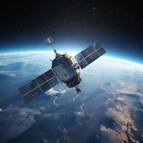
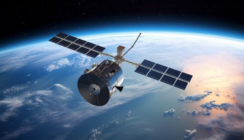
The Global Positioning System (GPS) has become an integral part of disaster management worldwide. GPS, originally developed by the U.S. Department of Defense, is a satellite-based navigation system that provides precise location and time information anywhere on or near the Earth's surface. This technology has proven to be a critical tool in disaster management, aiding in everything from disaster prediction and early warning to response and recovery efforts.


Role of GPS in Disaster Management
Disaster management involves a continuous cycle of preparation, response, recovery, and mitigation activities. GPS technology plays a crucial role in each of these stages, providing accurate and reliable data that can be used to make informed decisions and take appropriate actions.
Disaster Prediction and Early Warning
GPS can be used to monitor natural phenomena that may lead to disasters. For example, scientists use GPS to track the movement of tectonic plates, which can help predict earthquakes. Similarly, GPS data can be used to monitor sea level changes and ocean currents, providing early warning of potential tsunamis.
Disaster Response
During a disaster, GPS can provide real-time information about the affected area, aiding in search and rescue operations. Emergency responders can use GPS to navigate through unfamiliar or altered terrain, locate victims, and coordinate their efforts. GPS can also be used to track the movement of emergency vehicles and personnel, ensuring efficient deployment of resources.
Disaster Recovery
After a disaster, GPS can be used to assess the damage and plan recovery efforts. By comparing pre- and post-disaster GPS data, authorities can identify areas of significant change and prioritize their recovery efforts. GPS can also be used to monitor the progress of recovery activities and ensure that resources are being used effectively.
Disaster Mitigation
In the long term, GPS can contribute to disaster mitigation efforts by providing data for risk assessment and planning. For example, GPS data can be used to map flood-prone areas, helping authorities to plan and implement mitigation measures such as flood defenses. Similarly, GPS can be used to monitor land use and environmental changes, providing valuable information for sustainable development and disaster risk reduction.
Challenges and Limitations
While GPS has many advantages in disaster management, it also has some limitations. For instance, GPS signals can be disrupted by atmospheric conditions, buildings, and other obstructions, potentially reducing the accuracy of the data. In addition, GPS requires a clear line of sight to at least four satellites to provide accurate location information, which may not be possible in some disaster scenarios.
Moreover, the use of GPS in disaster management requires significant resources, including equipment, training, and maintenance. This can be a challenge for developing countries, where resources for disaster management are often limited.
Despite these challenges, the benefits of GPS in disaster management are clear, and efforts are ongoing to overcome these limitations and make this technology even more effective in the future.
Conclusion
GPS is a powerful tool in disaster management, providing critical data that can help predict disasters, guide response efforts, plan recovery activities, and mitigate future risks. While there are challenges and limitations, the potential of GPS in disaster management is vast, and its use is likely to continue to grow in the coming years.
