The Role of Geostatistics in Predicting Wildlife Migration
Introduction
Geostatistics is a branch of statistics focusing on spatial or spatiotemporal datasets. Developed originally for the mining industry, it provides a range of methods for modeling spatial information and allowing for spatial patterns to be incorporated into statistical models. In the context of wildlife migration, geostatistics plays a crucial role in predicting and understanding the movement patterns of various species.


Geostatistics: An Overview
Geostatistics involves the collection, analysis, and interpretation of data relating to geographical phenomena. It utilizes mathematical techniques and models to interpret spatial data and predict values for areas not sampled. Geostatistics is not limited to any specific field and has been applied in various sectors such as environmental science, petroleum geology, hydrogeology, and in this case, wildlife ecology.
Wildlife Migration
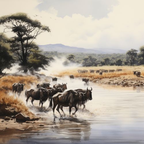
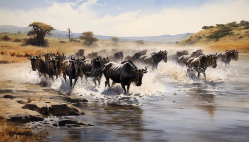
Wildlife migration refers to the seasonal movement of animals from one region to another. This can be triggered by various factors such as food availability, habitat change, or breeding needs. The migration patterns of wildlife are complex and can be influenced by a variety of environmental and biological factors. Understanding these patterns is crucial for wildlife conservation efforts, as it allows for the prediction of species distribution and movement, which in turn aids in the creation of effective conservation strategies.


The Role of Geostatistics in Predicting Wildlife Migration
Geostatistics provides a powerful tool for predicting wildlife migration. By analyzing spatial data on animal movement, geostatistics allows for the prediction of migration patterns and the identification of important wildlife corridors. This information is invaluable for conservation efforts, as it allows for the protection of crucial habitats and the creation of effective management strategies.
Data Collection
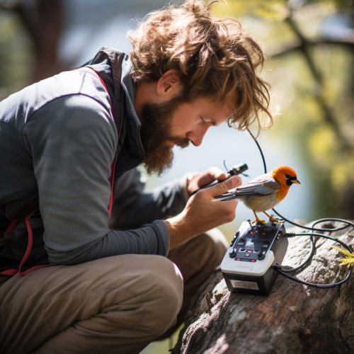
The first step in using geostatistics to predict wildlife migration is data collection. This involves tracking the movement of animals using various methods such as GPS tracking, radio telemetry, or observational data. The data collected provides information on the location and movement of animals, which is then used in geostatistical analysis.


Geostatistical Analysis
Once data has been collected, it is then analyzed using geostatistical methods. This involves the use of various statistical models to interpret the spatial data and predict values for areas not sampled. The analysis can provide information on the distribution and movement of species, identify important wildlife corridors, and predict future migration patterns.


Conservation Applications
The information gained from geostatistical analysis is crucial for wildlife conservation. By understanding the migration patterns of wildlife, conservationists can create effective strategies to protect important habitats and manage wildlife populations. This can include the creation of protected areas, the implementation of management strategies to protect migratory routes, and the development of policies to mitigate human-wildlife conflict.


Conclusion
Geostatistics plays a vital role in predicting wildlife migration. Through the collection and analysis of spatial data, it provides valuable insights into the movement patterns of various species. This information is crucial for wildlife conservation, as it allows for the creation of effective management strategies and the protection of important habitats.
