The Role of Geostatistics in Biodiversity Conservation
Introduction
Geostatistics is a branch of statistics focusing on spatial or spatiotemporal datasets. Developed originally to predict probability distributions of ore grades for mining operations, it is currently applied in diverse disciplines including petroleum geology, hydrogeology, meteorology, and environmental science. In the context of biodiversity conservation, geostatistics plays a crucial role in understanding and predicting patterns of biodiversity and informing conservation planning and management.
Biodiversity and Conservation
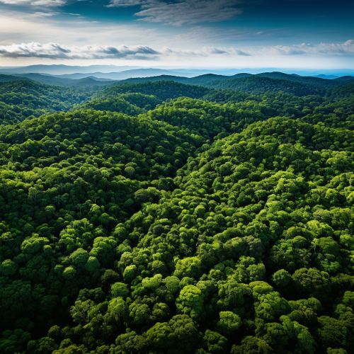
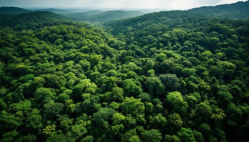
Biodiversity, the variety of life on Earth, is a complex and vital aspect of our planet. It provides the fundamental basis for ecosystems and the services they provide, such as food provision, water purification, and climate regulation. Biodiversity conservation is the practice of protecting and preserving the diversity of species, ecosystems, and genetic diversity in a given area. It involves strategies ranging from the establishment of protected areas to the development of legislation aimed at controlling the exploitation of natural resources.
Role of Geostatistics in Biodiversity Conservation
Geostatistics provides a set of statistical tools for the analysis of data that vary in space or time. In biodiversity conservation, geostatistics is used to understand and predict spatial patterns of biodiversity, assess biodiversity loss, and inform conservation planning and management.


Understanding and Predicting Spatial Patterns of Biodiversity
One of the primary uses of geostatistics in biodiversity conservation is to understand and predict spatial patterns of biodiversity. This involves the use of geostatistical models to analyze the distribution of species or other biodiversity indicators across a landscape. These models can help identify areas of high biodiversity, understand the factors driving these patterns, and predict how these patterns might change in the future.
Assessing Biodiversity Loss
Geostatistics is also used to assess biodiversity loss. This can involve the use of geostatistical methods to analyze changes in biodiversity over time, or to predict future changes in biodiversity under different scenarios. This information can be used to identify areas at risk of biodiversity loss, and to evaluate the effectiveness of conservation measures.


Informing Conservation Planning and Management
Geostatistics can also inform conservation planning and management. By providing detailed information about spatial patterns of biodiversity and potential threats, geostatistics can help identify priority areas for conservation, and guide the design of conservation strategies. For example, geostatistical analysis can be used to identify areas where conservation actions would have the greatest impact on biodiversity, or to predict the likely impact of different conservation strategies.
Challenges and Future Directions
While geostatistics provides powerful tools for biodiversity conservation, there are also challenges. One of the main challenges is the lack of high-quality spatial data on biodiversity. This is particularly true in developing countries, where biodiversity is often high but data are often lacking. Another challenge is the complexity of biodiversity itself, which can make it difficult to capture in a single statistical model.
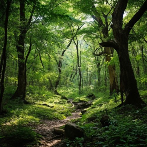
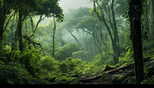
Despite these challenges, the future of geostatistics in biodiversity conservation looks promising. Advances in remote sensing technology are providing new sources of spatial data on biodiversity, while advances in statistical methods are allowing more complex patterns of biodiversity to be modeled. These developments are likely to make geostatistics an increasingly important tool for biodiversity conservation in the future.
