The Role of Geophysics in Oil and Gas Exploration
Introduction
Geophysics, a branch of Earth science, plays a crucial role in oil and gas exploration. It involves the study of the Earth's physical properties and the processes that act upon them. This includes the Earth's magnetic and gravitational fields, internal structure, temperature, and the mechanical properties of rocks. In the context of oil and gas exploration, geophysics is used to create maps of subsurface structures, which can then be analyzed to identify potential hydrocarbon reservoirs.

Geophysical Methods in Oil and Gas Exploration
The two primary geophysical methods used in oil and gas exploration are seismic and non-seismic methods.
Seismic Methods
Seismic methods are the most commonly used geophysical technique in oil and gas exploration. They involve the generation of seismic waves, which are then recorded by sensors as they reflect off different layers of rock. The data collected is then processed to create a detailed image of the subsurface.

Reflection Seismology
Reflection seismology is the most widely used seismic method in oil and gas exploration. It involves sending a seismic wave into the Earth and then recording the waves that are reflected back to the surface. The time it takes for the wave to return provides information about the depth and composition of the subsurface layers.


Refraction Seismology
Refraction seismology, on the other hand, involves measuring the bending of seismic waves as they pass through different layers of rock. This method is often used in conjunction with reflection seismology to provide a more complete picture of the subsurface.
Non-Seismic Methods
Non-seismic methods include magnetic, gravity, and electrical resistivity surveys. These methods are often used in the early stages of exploration to identify areas of interest for more detailed seismic surveys.
Magnetic Surveys
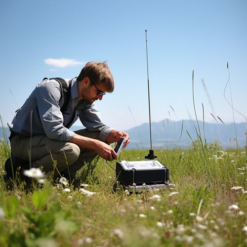
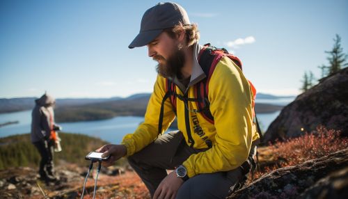
Magnetic surveys measure variations in the Earth's magnetic field caused by different types of rock. These surveys can be conducted from the air, ground, or sea, and can cover large areas quickly.


Gravity Surveys
Gravity surveys measure variations in the Earth's gravitational field, which can indicate differences in rock density. These surveys are often used to identify large-scale structures such as salt domes, which can trap oil and gas.

Electrical Resistivity Surveys
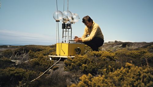
Electrical resistivity surveys measure the resistance of the Earth to the flow of electric current. This can provide information about the porosity and saturation of rocks, which are important factors in the presence of oil and gas.
Data Processing and Interpretation
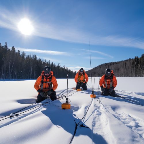
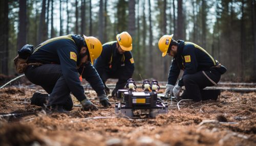
Once the geophysical data has been collected, it must be processed and interpreted to create a model of the subsurface. This involves a range of complex mathematical and computational techniques, including signal processing, inversion, and imaging.


Challenges and Future Directions
Despite the significant advances in geophysical technology and techniques, there are still many challenges in oil and gas exploration. These include the increasing complexity of reservoirs, the need for more accurate imaging, and the environmental impact of exploration activities. However, with ongoing research and development, geophysics continues to play a vital role in meeting the world's energy needs.


See Also
- Petroleum Geology - Seismic Interpretation - Reservoir Characterization
