The Role of Geomorphology in Landscape Evolution
Introduction
Geomorphology is the scientific study of the origin and evolution of topographic and bathymetric features created by physical, chemical, or biological processes operating at or near the Earth's surface. Geomorphologists seek to understand why landscapes look the way they do, to understand landform history and dynamics, and to predict changes through a combination of field observations, physical experiments, and numerical modeling. Geomorphology is practiced within physical geography, geology, geodesy, engineering geology, archaeology, and geotechnical engineering.


Geomorphological Processes
Geomorphological processes encompass the action of weathering, erosion, sediment transport, and deposition in the landscape. These processes are the fundamental methods by which landscapes are formed and altered. They are driven by a range of factors including climate, tectonic activity, sea level changes, and human activity.

Role in Landscape Evolution
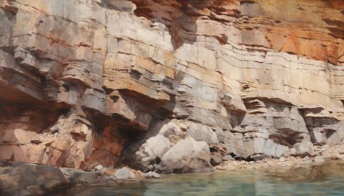
The study of geomorphology plays a crucial role in understanding landscape evolution. By analyzing the physical processes that shape the landscape, geomorphologists can reconstruct the history of a landscape’s formation and predict future changes. This can help in understanding the impact of natural disasters, managing land and water resources, and planning human settlements.
Geomorphological Features
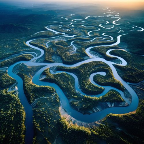
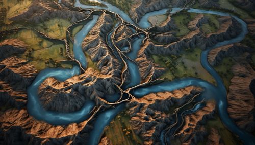
Geomorphological features are the physical elements of landscapes, such as mountains, plateaus, valleys, hills, plains, and bodies of water. These features are the result of various geomorphological processes and their study provides insights into the history of a landscape, the processes that have shaped it, and the rate at which these processes occur.

Geomorphological Analysis
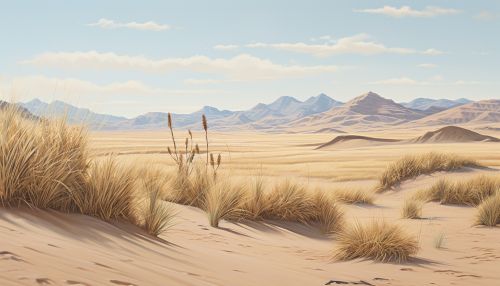
Geomorphological analysis involves the use of various techniques to study the physical properties and processes of landscapes. These techniques include field mapping, remote sensing, geochronology, and numerical modeling. Through these methods, geomorphologists can quantify the rates of landscape change, identify the drivers of these changes, and model future landscape scenarios.


Conclusion
Geomorphology is a vital field of study in understanding landscape evolution. By analyzing the physical processes and features of landscapes, geomorphologists provide valuable insights into the past, present, and future of our planet’s surface. This knowledge is crucial in managing our natural resources, mitigating natural disasters, and planning sustainable human settlements.
