The Role of Geomorphology in Erosion Control
Introduction
Geomorphology, the scientific study of the origin and evolution of topographic and bathymetric features created by physical, chemical or biological processes operating at or near the Earth's surface, plays a significant role in erosion control. Erosion control refers to the practice of preventing or controlling wind or water erosion in agriculture, land development, coastal areas, river banks and construction. This article delves into the intricate relationship between geomorphology and erosion control, exploring the various ways in which the understanding of geomorphological processes can aid in effective erosion management.
Geomorphology and Its Importance
Geomorphology is a branch of geology that focuses on the study of the physical features of the surface of the earth and their relation to its geological structures. It involves the systematic description of landforms, the analysis of the processes that create them, and the interpretation of the history of their development. The understanding of geomorphology is crucial in various fields such as geology, geography, civil engineering, and environmental science. In the context of erosion control, the knowledge of geomorphology is invaluable as it provides insights into the processes that lead to erosion and the strategies that can be employed to mitigate it.
Understanding Erosion
Erosion is a natural process that involves the wearing away of the Earth's surface by water, wind, or ice. This process is responsible for the formation of many of the Earth's most notable landscapes and geological features. However, when erosion occurs in undesirable locations or at an accelerated rate, it can lead to significant environmental and infrastructural damage. Understanding the factors that contribute to erosion is essential for effective erosion control.
The Role of Geomorphology in Erosion Control
The role of geomorphology in erosion control is multifaceted and complex. It involves understanding the processes that cause erosion, predicting future erosion patterns, and designing effective erosion control measures.
Understanding Erosion Processes
The first step in controlling erosion is understanding the processes that cause it. Geomorphology provides this understanding by studying the physical features of the Earth's surface and the processes that create them. For example, geomorphologists study how water flow, wind patterns, and ice movement contribute to erosion. This knowledge can then be used to predict where and how erosion might occur in the future.
Predicting Future Erosion Patterns
Geomorphologists use their understanding of erosion processes to predict future erosion patterns. This involves studying the topography of an area, the type of soil present, and the prevailing climatic conditions. By combining this information, geomorphologists can predict where erosion is likely to occur and the severity of the potential erosion. This predictive ability is crucial in planning effective erosion control measures.
Designing Effective Erosion Control Measures
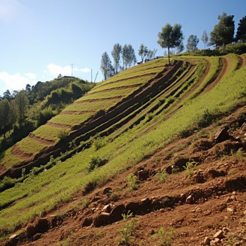
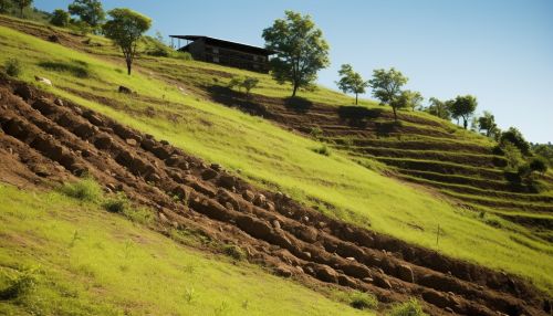
The knowledge gained from studying geomorphology is not only used to understand and predict erosion but also to design effective erosion control measures. These measures are often designed to work with the natural processes of the landscape rather than against them. For example, in areas prone to wind erosion, geomorphologists might recommend the planting of vegetation to stabilize the soil and reduce wind speed at the surface. In areas prone to water erosion, they might recommend the construction of terraces to slow down water flow and promote infiltration.


Case Studies
Several case studies illustrate the role of geomorphology in erosion control. These case studies provide practical examples of how the principles and theories of geomorphology have been applied to solve real-world erosion problems.
Case Study 1: The Grand Canyon
The Grand Canyon, one of the world's most spectacular landscapes, is a prime example of erosion in action. Over millions of years, the Colorado River has carved this immense canyon into the Colorado Plateau, creating a landscape that is both beautiful and geologically significant. Geomorphologists have studied the Grand Canyon extensively to understand the processes of erosion and to predict future changes to the landscape.
Case Study 2: The Dust Bowl
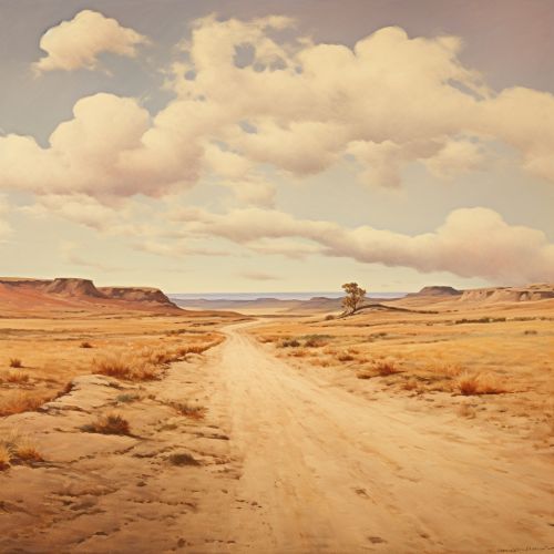
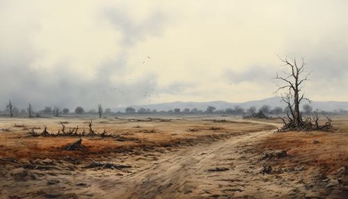
The Dust Bowl of the 1930s was a severe environmental disaster that occurred in the central United States. Poor agricultural practices combined with severe drought led to widespread soil erosion and dust storms. Geomorphologists have studied this event to understand the causes of the erosion and to develop strategies to prevent similar events in the future.


Conclusion
The role of geomorphology in erosion control is crucial. By studying the physical features of the Earth's surface and the processes that create them, geomorphologists can understand the causes of erosion, predict future erosion patterns, and design effective erosion control measures. This understanding is essential for managing our landscapes sustainably and protecting them for future generations.
