Geomorphology
Introduction
Geomorphology is the scientific study of the origin and evolution of topographic and bathymetric features created by physical, chemical or biological processes operating at or near the Earth's surface. Geomorphologists seek to understand why landscapes look the way they do, to understand landform history and dynamics and to predict changes through a combination of field observations, physical experiments and numerical modeling. Geomorphology is practiced within physical geography, geology, geodesy, engineering geology, archaeology, and geotechnical engineering.
History of Geomorphology
The study of geomorphology can be traced back to ancient times, when early civilizations began to recognize and understand the processes that shape the Earth's surface. The term "geomorphology" itself was first used in the 19th century by the American geologist William Morris Davis, who is often referred to as the "father of American geomorphology". His work laid the foundation for the modern study of landforms and the processes that create them.


Geomorphological Processes
Geomorphological phenomena are the result of a variety of natural processes, including erosion, sedimentation, weathering, and tectonic activity. These processes can be classified into three main categories: endogenic processes, exogenic processes, and anthropogenic processes.
Endogenic Processes
Endogenic processes are those that occur beneath the Earth's surface, primarily as a result of tectonic activity. These processes include volcanic activity, earthquakes, and the movement of tectonic plates, all of which can significantly alter the Earth's topography.
Exogenic Processes
Exogenic processes, on the other hand, are those that occur at or near the Earth's surface. These include weathering, erosion, and sedimentation. Weathering refers to the breakdown of rocks and minerals at the Earth's surface due to exposure to the atmosphere, while erosion is the process by which soil and rock are removed from the Earth's surface by wind, water, or ice. Sedimentation is the process by which sediment is deposited in new locations.
Anthropogenic Processes
Anthropogenic processes are those that are caused by human activity. These can include deforestation, urbanization, and the construction of dams and other structures. While these processes can significantly alter the Earth's surface, they are generally considered to be a subset of exogenic processes.
Geomorphological Features
There are a wide variety of geomorphological features that can be found on the Earth's surface. These can range from large-scale features such as mountains, plateaus, and valleys, to smaller features such as dunes, gullies, and river meanders.
Mountains
Mountains are large landforms that rise above the surrounding land in a limited area, usually in the form of a peak. They are created through tectonic forces or volcanism. These forces can locally raise the surface of the earth.
Plateaus
A plateau is a flat or gently sloping elevated area that has been uplifted due to geological forces. Plateaus can be formed by a number of processes, including volcanic activity and the erosion of surrounding landforms.
Valleys
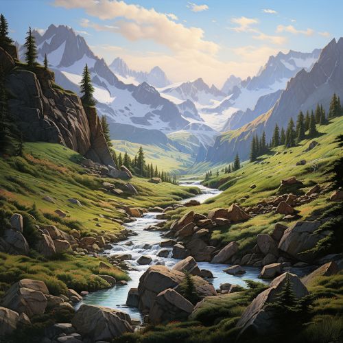
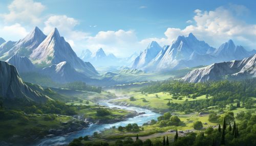
A valley is a low area between hills or mountains often with a river running through it. Valleys are most commonly formed through the action of river erosion.
Dunes
Dunes are mounds of sand or other loose sediment formed by the wind, and they are most commonly found in deserts and coastal areas.
Gullies
A gully is a landform created by running water, eroding sharply into soil, typically on a hillside. Gullies resemble large ditches or small valleys, but are meters to tens of meters in depth and width.
River Meanders
River meanders are curves, bends, or loops in a river channel. They are typically formed in flat, open areas and are the result of slow-moving water.
Geomorphological Analysis
Geomorphologists use a variety of techniques to study and analyze the Earth's surface. These can include field observations, physical experiments, and numerical modeling.
Field Observations
Field observations are a crucial part of geomorphological analysis. Geomorphologists often spend time in the field, observing and measuring landforms in order to better understand the processes that have shaped them.
Physical Experiments
Physical experiments can also be an important part of geomorphological research. These can include laboratory experiments, where geomorphologists recreate natural processes under controlled conditions, or field experiments, where they manipulate variables in the natural environment to observe the effects.
Numerical Modeling
Numerical modeling is a tool that allows geomorphologists to simulate the processes that shape the Earth's surface. These models can be used to predict future changes in the landscape, and to test hypotheses about how different processes interact to shape landforms.
