The Role of Geology in Natural Disaster Prediction
Introduction
Geology is a fundamental science that studies the Earth's solid matter, its structure, and the processes by which it changes over time. It plays a crucial role in predicting natural disasters, as it provides insights into the Earth's dynamics that lead to these catastrophic events. This article will delve into the role of geology in predicting natural disasters, focusing on earthquakes, volcanic eruptions, landslides, and tsunamis.


Earthquakes
Earthquakes are sudden shaking or trembling of the ground caused by the movement of tectonic plates beneath the Earth's surface. Geologists use various methods to predict earthquakes, including the study of seismic waves, geological mapping, and the monitoring of earthquake swarms.
Seismic Waves
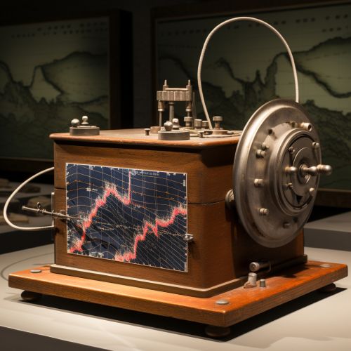
Seismic waves are energy waves that travel through the Earth's layers. They are generated by earthquakes, volcanic eruptions, and other geologic activities. By studying these waves, geologists can determine the location, depth, and magnitude of an earthquake. The analysis of seismic waves also allows geologists to understand the Earth's interior structure, which is crucial for predicting potential earthquake zones.


Geological Mapping
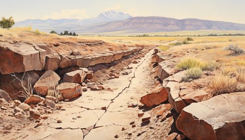
Geological mapping involves the study of the Earth's surface and subsurface to understand its geological features. This includes the identification of fault lines, which are fractures in the Earth's crust where significant movement has occurred. The presence of active fault lines can indicate a higher risk of earthquakes.
Earthquake Swarms
An earthquake swarm is a sequence of seismic events occurring in a local area within a relatively short period. These swarms can be a precursor to larger seismic events. By monitoring these swarms, geologists can potentially predict significant earthquakes.
Volcanic Eruptions
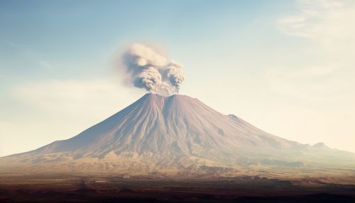
Volcanic eruptions are another type of natural disaster that can be predicted through geological studies. Geologists use several methods to forecast volcanic eruptions, including the monitoring of seismic activity, gas emissions, and ground deformation.


Seismic Activity
Just like earthquakes, volcanic eruptions also generate seismic waves. The increase in seismic activity, especially the occurrence of harmonic tremors, can indicate an impending eruption.
Gas Emissions
Volcanoes emit various gases, including water vapor, carbon dioxide, and sulfur dioxide. An increase in gas emissions can be a sign of an upcoming eruption. Geologists use instruments like gas chromatographs to measure these emissions.
Ground Deformation
The movement of magma beneath a volcano can cause the ground to deform. Geologists use techniques like Interferometric Synthetic Aperture Radar (InSAR) to detect these changes. A significant ground deformation can suggest a possible eruption.
Landslides
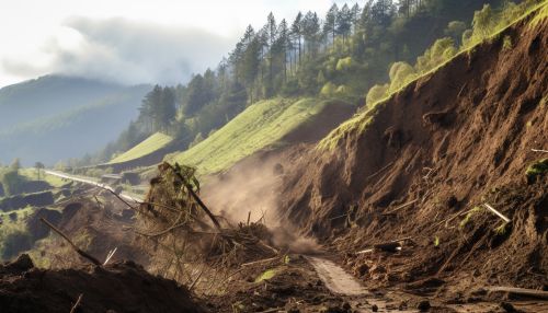
Landslides are the movement of rock, earth, or debris down a slope. They can be triggered by various factors, including earthquakes, volcanic eruptions, and heavy rainfall. Geologists use several methods to predict landslides, such as slope stability analysis, geological mapping, and rainfall monitoring.


Slope Stability Analysis
Slope stability analysis involves the study of slopes to determine their stability. This includes the analysis of the slope's material, structure, and water content. A slope with low stability is more likely to experience a landslide.
Geological Mapping
Just like in earthquake prediction, geological mapping is also crucial in landslide prediction. It allows geologists to identify areas with a history of landslides and areas with geological features that make them prone to landslides.
Rainfall Monitoring
Heavy rainfall can trigger landslides by increasing the water content of a slope, reducing its stability. By monitoring rainfall, geologists can predict the likelihood of landslides in certain areas.
Tsunamis
Tsunamis are large ocean waves caused by underwater earthquakes, volcanic eruptions, or landslides. Geologists predict tsunamis by monitoring seismic activity, studying historical tsunami data, and using tsunami simulation models.


Seismic Activity
Underwater earthquakes are the most common cause of tsunamis. By monitoring seismic activity, especially in the oceanic tectonic plate boundaries, geologists can predict potential tsunamis.
Historical Tsunami Data
Studying historical tsunami data can provide valuable insights into the frequency and magnitude of past tsunamis. This information can help predict future tsunamis in the same regions.
Tsunami Simulation Models
Tsunami simulation models use mathematical equations to simulate the generation, propagation, and inundation of tsunamis. These models can help predict the impact of a tsunami, including its arrival time, wave height, and inundation area.
Conclusion
Geology plays a vital role in predicting natural disasters. By studying the Earth's structure and processes, geologists can forecast earthquakes, volcanic eruptions, landslides, and tsunamis. While prediction methods are not always accurate, they are continually improving, helping to mitigate the impact of these catastrophic events.
