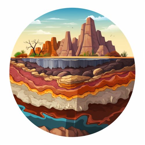
Subsurface Geology
Introduction
Subsurface geology is the study of the physical properties and location of rock and soil beneath the Earth's surface. This discipline is essential in various fields such as petroleum geology, hydrogeology, and geotechnical engineering. It provides significant information about the Earth's history, including past climates, tectonic events, and the evolution of life.


Geological Subsurface Investigation
Geological subsurface investigation involves the use of various techniques to study the Earth's subsurface. These techniques include drilling, seismic surveys, and geophysical logging. The data gathered from these investigations can provide a detailed picture of the subsurface geology, including the type, distribution, and physical properties of rocks and soils.
Drilling
Drilling is a common method used in subsurface geology. It involves the use of a drill rig to bore holes into the Earth's subsurface. The drilled material, or core sample, is then analyzed to determine the type and properties of the rock or soil. This information can be used to infer the geological history of the area, identify potential resources, or assess geotechnical risks.
Seismic Surveys
Seismic surveys are another technique used in subsurface geology. These surveys involve the generation of seismic waves, which are then recorded as they reflect off different layers of rock and soil. The data collected from these surveys can be used to create a detailed image of the subsurface geology, including the location and orientation of rock layers and faults.
Geophysical Logging
Geophysical logging is a method used to measure the physical properties of rocks and soils in a borehole. This technique involves the use of various instruments that are lowered into the borehole to measure properties such as electrical resistivity, natural radioactivity, and sonic velocity. The data gathered from geophysical logging can provide valuable information about the type and distribution of rocks and soils in the subsurface.
Subsurface Geological Structures
Subsurface geological structures are features that occur beneath the Earth's surface, including rock layers, faults, and folds. These structures play a critical role in the distribution and movement of subsurface fluids, such as water, oil, and gas.
Rock Layers
Rock layers, or stratigraphic units, are layers of rock that have been deposited over time. These layers can provide valuable information about the Earth's history, including past climates and tectonic events. The study of rock layers is a fundamental aspect of subsurface geology.
Faults
Faults are fractures in the Earth's crust where significant displacement has occurred. These structures can act as conduits or barriers for the movement of subsurface fluids, depending on their orientation and permeability. The study of faults is crucial in subsurface geology, particularly in the fields of petroleum geology and hydrogeology.
Folds
Folds are bends in rock layers that occur due to compressional forces. These structures can create traps for subsurface fluids, making them important targets in petroleum exploration. The study of folds is another key aspect of subsurface geology.
Applications of Subsurface Geology
Subsurface geology has a wide range of applications, from resource exploration to environmental management and geotechnical engineering.
Petroleum Geology
In petroleum geology, subsurface geological data is used to identify potential oil and gas reservoirs. This involves the study of rock layers, faults, and folds to determine the location and size of these reservoirs.
Hydrogeology
In hydrogeology, subsurface geology is used to study the distribution and movement of groundwater. This includes the identification of aquifers and the assessment of groundwater quality and quantity.
Geotechnical Engineering
In geotechnical engineering, subsurface geological data is used to assess the stability of structures such as buildings, dams, and tunnels. This involves the study of soil and rock properties, as well as the identification of potential geotechnical hazards.
