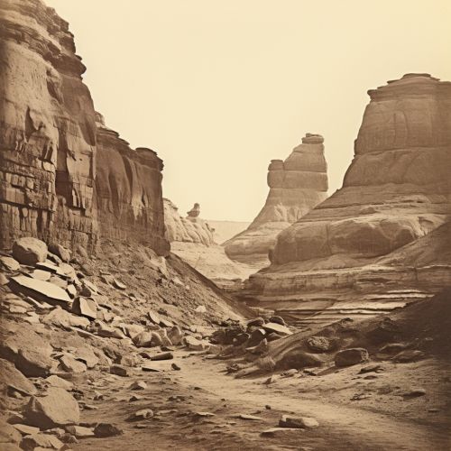
Structural Geology
Introduction
Structural geology is the study of the three-dimensional distribution of rock units with respect to their deformational histories. The primary goal of structural geology is to use measurements of present-day rock geometries to uncover information about the history of deformation (strain) in the rocks, and ultimately, to understand the stress field that resulted in the observed strain and geometries. This understanding of the dynamics of the stress field can be applied to many disciplines of the geosciences, including petrology, hydrogeology, and economic geology, particularly in the search for oil and mineral deposits.


Fundamentals of Structural Geology
Structural geology involves the use of quantitative physical techniques and the principles of continuum mechanics to understand the evolution of geological structures. At the core of these investigations are the descriptions of the geometries of geological structures, the documentation of the patterns of strain within these structures, and the theoretical and experimental investigation of the formation processes of these structures and the constraints that these processes offer.
Stress and Strain
Stress is a physical quantity that expresses the internal forces that neighboring particles of a continuous material exert on each other. In geology, stress is the force per unit area that is placed on a rock. Strain is the change in shape or size of a body due to applied forces. In structural geology, strain is the amount of deformation representing the relative displacement between particles in the material body.
Geological Structures
Geological structures such as faults, folds, joints, and foliations are the architecture of the earth’s crust. These structures form as a result of various types of deformation, such as folding, faulting, and flow. They record the history of the stresses that the earth’s crust has experienced over geological time.
Methods in Structural Geology
Structural geologists use a variety of methods to measure the orientations of geological structures, to understand and quantify the spatial distribution of these structures, and to infer the past tectonic environments that induced their formation.
Field Methods
Field methods include measuring orientations of faults, folds, joints, foliations and lineations, as well as constructing geological maps and cross-sections. Physical models are used to interpret and analyze the complexity of geological structures.
Laboratory Methods
Laboratory methods include techniques such as rock deformation experiments and optical analysis of mineral textures and microstructures in thin sections. These methods allow structural geologists to understand the mechanical behavior of rocks and the processes that enable the rocks to deform.
Numerical Methods
Numerical methods involve the use of computer models and software to simulate the evolution of geological structures. These models can be used to test hypotheses about the formation and deformation of structures and to predict the behavior of these structures under different stress conditions.
Applications of Structural Geology
Structural geology has a wide range of applications in various fields of geosciences and in civil engineering.
Petroleum and Mining Geology
In petroleum and mining geology, structural geology is used to understand and quantify the shapes, sizes, and quality of reservoirs, and to understand and quantify the fluid flow in and around reservoirs. This knowledge is crucial for the exploration and extraction of oil, gas, and minerals.
Geotechnical Engineering
In geotechnical engineering, the knowledge of the mechanical behavior of rocks and the geometry of rock structures is important for the design and construction of tunnels, dams, and foundations of buildings.
Natural Hazard Assessment and Mitigation
In natural hazard assessment and mitigation, understanding the structures that could cause landslides, earthquakes, or volcanic eruptions is crucial for predicting the size and timing of these events and for planning strategies to mitigate their impact.
