Seismic Imaging of Earths Interior
Introduction
Seismic imaging is a technique used to visualize the Earth's interior by analyzing the seismic waves generated by earthquakes or man-made sources. This method is essential in the field of geophysics, as it provides valuable information about the Earth's internal structure and composition.


Seismic Waves
Seismic waves are waves of energy that travel through the Earth's layers, and are a result of earthquakes, volcanic eruptions, magma movement, large landslides and manmade explosions that give scientists a detailed picture of the structure of the Earth's interior. These waves are recorded by a seismograph and the data is then analyzed to determine the depth and composition of the Earth's layers.
There are two types of seismic waves: body waves and surface waves. Body waves are seismic waves that travel through the Earth's inner layers, while surface waves travel along the Earth's surface. Body waves can be further divided into P-waves (primary waves) and S-waves (secondary waves).
Seismic Imaging Techniques
Several techniques are used in seismic imaging, each with its own advantages and limitations. The most common techniques include reflection seismology, refraction seismology, and tomography.
Reflection Seismology
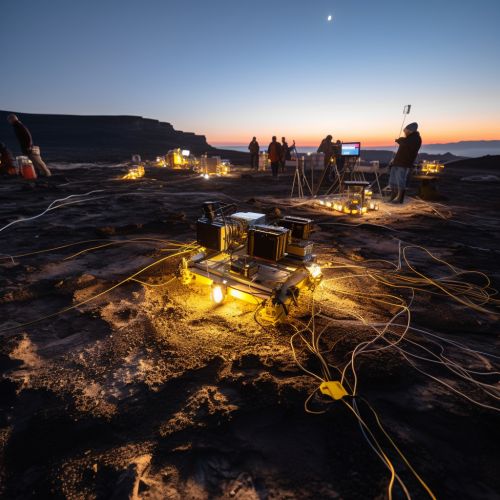
Reflection seismology is a method of exploration geophysics that uses the principles of seismology to estimate the properties of the Earth's subsurface from reflected seismic waves. The method requires a controlled seismic source of energy, such as dynamite or a specialized air gun.
Refraction Seismology
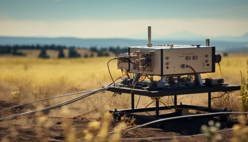
Refraction seismology is another method used in seismic imaging. This technique involves the measurement of the time it takes for seismic waves to travel from a controlled source, refract off a geological boundary and be detected by an array of geophones.
Tomography
Seismic tomography is a technique for imaging the subsurface of the Earth with seismic waves produced by earthquakes or explosions. Seismic tomography is widely used in geophysics for subsurface imaging and in geotechnical engineering for site characterization.
Applications of Seismic Imaging
Seismic imaging has a wide range of applications in various fields. These include oil and gas exploration, geotechnical engineering, and earthquake seismology.
Oil and Gas Exploration
In the field of oil and gas exploration, seismic imaging is used to identify and map the subsurface deposits of hydrocarbons. It is one of the most reliable methods used in the exploration of oil and gas.
Geotechnical Engineering
In geotechnical engineering, seismic imaging is used for site characterization. It helps in determining the mechanical properties of the soil and rock, which are essential for the design and construction of structures.
Earthquake Seismology
In earthquake seismology, seismic imaging is used to study the Earth's interior structure. This helps in understanding the mechanisms of earthquakes and predicting their occurrence.
Conclusion
Seismic imaging is a powerful tool used to study the Earth's interior. It provides valuable information about the Earth's structure and composition, which is essential for various applications such as oil and gas exploration, geotechnical engineering, and earthquake seismology.
