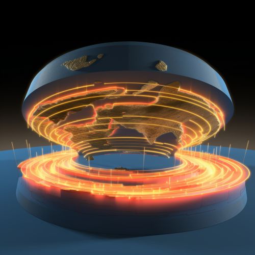
Seismic Tomography
Introduction
Seismic tomography is a technique used in geophysics and seismology to create detailed images of the Earth's interior. This method is based on the analysis of seismic waves generated by earthquakes or artificial sources. The resulting data provides invaluable insights into the structure and composition of the Earth's crust, mantle, and core.


Principles of Seismic Tomography
Seismic tomography operates on the principle that seismic waves travel at different speeds through different types of rock. These variations in seismic wave velocity are primarily due to differences in rock temperature, composition, and pressure. By measuring the travel times of seismic waves from their source to various receivers, scientists can infer the properties of the rocks through which the waves have traveled.
The process of seismic tomography involves the collection of seismic data from a network of seismometers. These instruments record the arrival times of seismic waves from various sources. The data is then processed using complex mathematical techniques, such as inverse theory, to create a model of the subsurface. This model is iteratively refined until it accurately reproduces the observed data.
Types of Seismic Tomography
There are several types of seismic tomography, each with its own specific applications and methodologies. These include:
Body Wave Tomography
Body wave tomography uses P-waves and S-waves, which travel through the interior of the Earth. This method is particularly effective for imaging the deep structure of the Earth, including the mantle and core.
Surface Wave Tomography
Surface wave tomography utilizes waves that travel along the Earth's surface. This method is most effective for imaging the shallow structure of the Earth's crust.
Cross-Correlation Tomography
Cross-correlation tomography is a relatively new technique that uses the ambient seismic noise field to image the Earth's interior. This method has the advantage of not requiring a specific seismic event, making it useful for continuous monitoring of seismic activity.
Applications of Seismic Tomography
Seismic tomography has a wide range of applications in various fields. These include:
Earthquake Studies
Seismic tomography is used extensively in earthquake studies to understand the structure of fault zones and the processes leading to earthquakes. This information is crucial for assessing earthquake hazards and developing mitigation strategies.
Oil and Gas Exploration
In the oil and gas industry, seismic tomography is used to map the subsurface structure and identify potential hydrocarbon reservoirs. This technique provides a detailed image of the subsurface, helping geologists to make informed decisions about where to drill.
Volcanology
Seismic tomography is also used in volcanology to image the structure of volcanoes and understand the processes leading to volcanic eruptions. This information is essential for predicting volcanic activity and mitigating volcanic hazards.
Geothermal Energy
In geothermal energy exploration, seismic tomography is used to identify regions of high thermal gradient, which are potential sites for geothermal energy extraction.
Challenges and Future Directions
Despite its many applications, seismic tomography also faces several challenges. These include the non-uniqueness of tomographic images, the difficulty in accurately modeling complex geological structures, and the limitations in resolution due to the distribution of seismic sources and receivers.
However, ongoing research and technological advancements are continually improving the accuracy and resolution of seismic tomography. Future directions in this field include the development of new data acquisition techniques, the integration of other geophysical data, and the application of advanced computational methods.
