Satellite Imagery in Environmental Management
Introduction
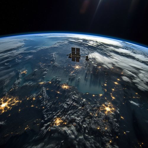
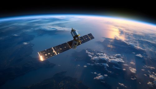
Satellite imagery is a crucial tool in the field of environmental management. These images, captured by satellites orbiting the Earth, provide detailed, objective, and repeatable data that can be used to monitor and manage environmental resources. This article delves into the use of satellite imagery in environmental management, discussing its applications, benefits, limitations, and future prospects.


Applications of Satellite Imagery in Environmental Management
Satellite imagery has a wide range of applications in environmental management. These include:
- Land Use and Land Cover Mapping: Satellite images provide a bird's eye view of the Earth's surface, making them ideal for mapping land use and land cover. This information is vital for planning, managing, and monitoring environmental resources.
- Climate Change Monitoring: Satellite imagery is used to monitor changes in the Earth's climate, including changes in sea level, ice cover, and vegetation patterns. This information is crucial for understanding and mitigating the impacts of climate change.
- Biodiversity Conservation: Satellite images can be used to identify and monitor biodiversity hotspots, providing valuable information for conservation efforts.
- Natural Disaster Management: Satellite imagery can be used to predict, monitor, and manage natural disasters such as floods, wildfires, and hurricanes. This information can help to mitigate the impacts of these events and aid in recovery efforts.
- Water Resource Management: Satellite images can be used to monitor water resources, including rivers, lakes, and groundwater. This information is vital for managing these resources and ensuring their sustainable use.
Benefits of Using Satellite Imagery in Environmental Management
The use of satellite imagery in environmental management offers several benefits. These include:
- Large-scale Monitoring: Satellite imagery allows for the monitoring of large areas, making it possible to track environmental changes at a global scale.
- Objective and Repeatable Data: Satellite images provide objective and repeatable data, ensuring the reliability of the information used in environmental management.
- Cost-effectiveness: Satellite imagery can be a cost-effective way of gathering environmental data, especially when compared to ground-based methods.
- Timely Information: Satellite imagery can provide timely information, allowing for rapid response to environmental changes and events.
Limitations of Using Satellite Imagery in Environmental Management
Despite its benefits, the use of satellite imagery in environmental management also has some limitations. These include:
- Resolution Limitations: The resolution of satellite images can limit their usefulness in environmental management. High-resolution images are often required for detailed environmental studies, but these images can be expensive and may not be available for all areas.
- Cloud Cover: Cloud cover can obscure satellite images, making it difficult to monitor certain areas.
- Technical Expertise: The use of satellite imagery in environmental management requires technical expertise in remote sensing and image analysis. This can be a barrier to the use of this technology in some areas.
Future Prospects
The use of satellite imagery in environmental management is likely to increase in the future, driven by advances in satellite technology and the growing need for environmental data. Future developments may include the launch of more satellites, improvements in image resolution, and the development of new methods for analyzing satellite data.
