Role of Geomorphology in Erosion Control
Introduction
Geomorphology, the scientific study of the origin and evolution of topographic and bathymetric features created by physical, chemical or biological processes operating at or near the Earth's surface, plays a significant role in erosion control. Erosion, the process by which the surface of the Earth is worn away by the action of water, wind, or glacial ice, is a natural phenomenon that can have significant impacts on the environment and human activities. Geomorphologists use their understanding of the Earth's surface processes to develop strategies and techniques for controlling erosion.


Understanding Erosion
Erosion is a process that involves the removal and transport of soil and rock material by natural agencies. It is a key process in the Earth's surface dynamics, shaping landscapes and creating relief. Erosion can occur on a small scale, such as the wearing away of a hillside by rainwater, or on a large scale, such as the carving of a canyon by a river. The rate and magnitude of erosion can be influenced by a variety of factors, including climate, vegetation cover, topography, and human activities.
Geomorphology and Erosion
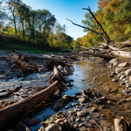
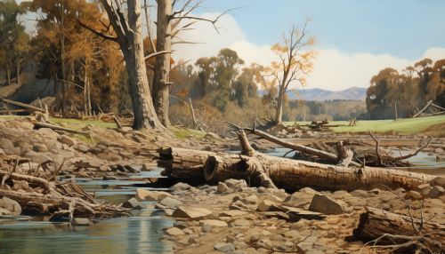
Geomorphology is intrinsically linked to erosion, as the study of the Earth's surface features and processes provides valuable insights into the mechanisms and dynamics of erosion. By understanding the geomorphological processes at work in a given landscape, it is possible to predict and manage erosion. For instance, the study of fluvial geomorphology – the analysis of river systems and water flow – can help in understanding and predicting riverbank erosion.


Role of Geomorphology in Erosion Control
The role of geomorphology in erosion control is multifaceted. Geomorphologists can contribute to erosion control in several ways:
Landscape Analysis
Geomorphologists analyze landscapes to identify areas susceptible to erosion. They study the physical properties of the soil, the topography of the land, and the climatic conditions to determine the potential for erosion. This information can be used to develop erosion control strategies tailored to the specific characteristics of the landscape.
Erosion Prediction
By studying the geomorphological processes at work in a landscape, geomorphologists can predict where and when erosion might occur. This predictive capability is crucial for planning and implementing erosion control measures. For example, by understanding the dynamics of coastal geomorphology, it is possible to predict areas of potential coastal erosion and take preventative measures.
Erosion Control Strategies
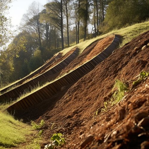
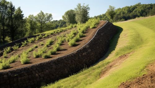
Geomorphologists also play a key role in developing and implementing erosion control strategies. These strategies can range from physical interventions, such as the construction of erosion control structures, to more indirect approaches, such as land use planning and vegetation management.
Education and Advocacy
Geomorphologists also play a role in educating the public and policymakers about erosion and its impacts. By communicating the importance of erosion control and the role of geomorphology in managing erosion, they can help to promote policies and practices that reduce erosion.
Conclusion
In conclusion, geomorphology plays a crucial role in erosion control. By understanding the processes that shape the Earth's surface, geomorphologists can predict erosion, develop effective control strategies, and educate others about the importance of managing erosion. As erosion continues to be a significant environmental challenge, the role of geomorphology in erosion control will remain vital.


