Remote Sensing in Environmental Monitoring
Introduction
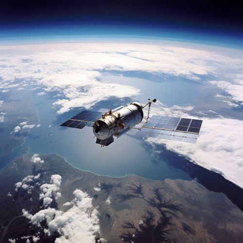
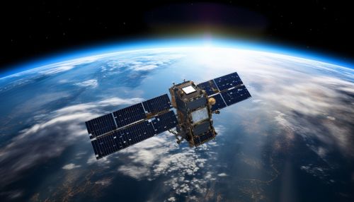
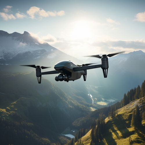
Remote sensing in environmental monitoring is a scientific method that involves the use of remote sensing technologies to monitor and assess the environment. Remote sensing, in this context, refers to the acquisition of information about an object or phenomenon without making physical contact with the object. This is typically achieved through the use of various types of sensors mounted on platforms such as satellites, aircraft, or unmanned aerial vehicles (UAVs). These sensors detect and measure the reflected or emitted radiation from the Earth's surface, which is then processed and analyzed to extract useful information about the environment 1(https://www.sciencedirect.com/science/article/pii/S0924271616000265).
History of Remote Sensing in Environmental Monitoring
The use of remote sensing in environmental monitoring has a rich history that dates back to the mid-20th century. The first successful application of remote sensing technologies in environmental monitoring was during the 1960s with the launch of the first weather satellites, which provided meteorologists with unprecedented views of the Earth's atmosphere and weather patterns 2(https://www.jstor.org/stable/26267553). Since then, the field of remote sensing has evolved significantly, with the development of more sophisticated sensors and platforms, as well as advanced data processing and analysis techniques.
Types of Remote Sensing Technologies
There are several types of remote sensing technologies that are commonly used in environmental monitoring, each with its own unique characteristics and applications. These include:
Optical Remote Sensing
Optical remote sensing involves the use of visible, near-infrared, and short-wave infrared light to capture images of the Earth's surface. This type of remote sensing is commonly used in environmental monitoring to assess vegetation health, monitor land use and land cover changes, and detect surface water bodies, among other applications 3(https://www.sciencedirect.com/science/article/pii/S0034425717302900).


Radar Remote Sensing
Radar remote sensing involves the use of radio waves to measure the distance and properties of a target. This type of remote sensing is particularly useful in environmental monitoring because it can penetrate clouds and vegetation, and can operate in all weather conditions and at any time of day or night. Radar remote sensing is commonly used to monitor soil moisture, forest biomass, and sea ice, among other applications 4(https://ieeexplore.ieee.org/abstract/document/6136149).
Lidar Remote Sensing
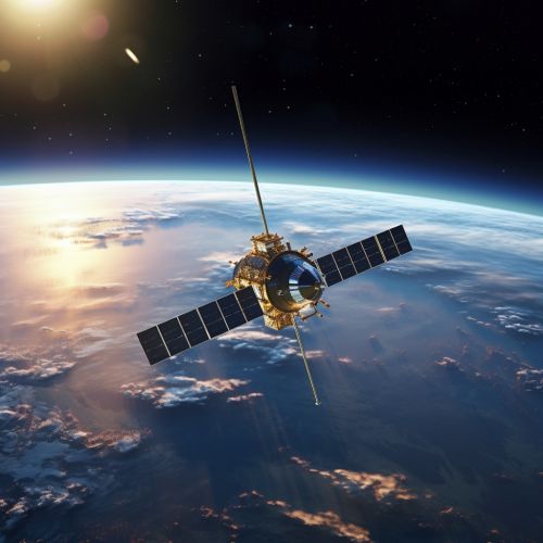
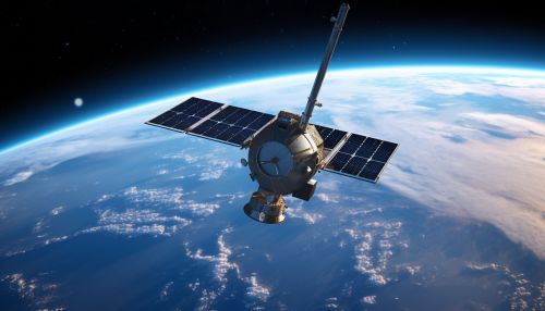
Lidar (Light Detection and Ranging) remote sensing involves the use of laser light to measure the distance to a target. This type of remote sensing is commonly used in environmental monitoring to create high-resolution topographic maps, measure forest canopy height, and assess coastal erosion, among other applications 5(https://www.sciencedirect.com/science/article/pii/S0924271616000265).

Applications of Remote Sensing in Environmental Monitoring
Remote sensing technologies have a wide range of applications in environmental monitoring. Some of the key applications include:
Climate Change Monitoring
Remote sensing plays a crucial role in monitoring the impacts of climate change. Satellites equipped with various sensors can monitor changes in sea level, ice caps, and glaciers, providing valuable data to climate scientists. They can also monitor changes in vegetation and land use, which can provide insights into the impacts of climate change on ecosystems 6(https://www.nature.com/articles/s41598-018-26995-0).
Disaster Management
Remote sensing technologies can provide critical information in the aftermath of natural disasters such as earthquakes, floods, and wildfires. They can help in assessing the extent of damage, identifying affected areas, and planning relief operations. They can also be used for disaster prediction and prevention, such as monitoring volcanic activity or predicting landslides 7(https://www.sciencedirect.com/science/article/pii/S0924271616000265).
Biodiversity Conservation
Remote sensing can be used to monitor and assess biodiversity on a large scale. It can provide information on habitat quality, species distribution, and population dynamics, which can help in the conservation of biodiversity. It can also be used to monitor the impacts of human activities on biodiversity, such as deforestation and urbanization 8(https://www.sciencedirect.com/science/article/pii/S0034425717302900).
Challenges and Future Directions
Despite the many advantages of using remote sensing in environmental monitoring, there are also several challenges that need to be addressed. These include the high cost of satellite missions, the need for advanced data processing and analysis techniques, and the difficulty in validating remote sensing data with ground-based observations 9(https://www.sciencedirect.com/science/article/pii/S0924271616000265).
Looking ahead, the field of remote sensing is expected to continue to evolve and innovate, with the development of more advanced sensors and platforms, as well as new data processing and analysis techniques. There is also a growing trend towards the integration of remote sensing data with other types of data, such as ground-based observations and socio-economic data, to provide a more comprehensive understanding of environmental processes and changes 10(https://www.sciencedirect.com/science/article/pii/S0034425717302900).
See Also
- Satellite Imagery in Environmental Science
- Applications of Lidar Technology
- Climate Change Monitoring Techniques
References
1. Remote Sensing in Environmental Science 2. History of Remote Sensing 3. Optical Remote Sensing 4. Radar Remote Sensing 5. Lidar Remote Sensing 6. Climate Change Monitoring 7. Disaster Management 8. Biodiversity Conservation 9. Challenges and Future Directions 10. Future Directions
