Radar Imaging
Introduction
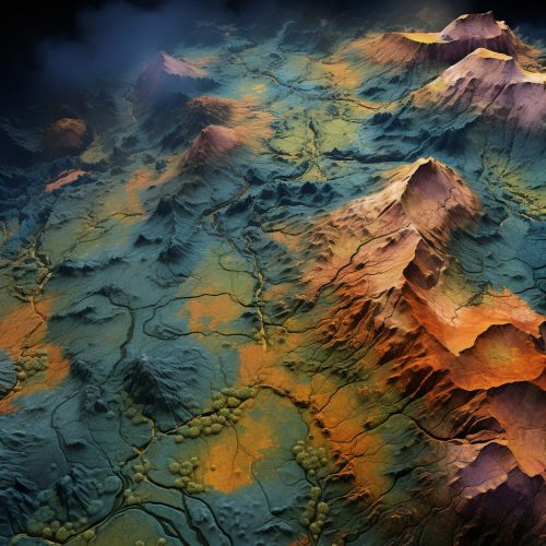
Radar imaging is a technique used to provide high-resolution images by bouncing radio waves off surfaces at a distance. This method is widely used in several fields, including meteorology, geology, and defense, due to its ability to penetrate clouds, rain, and other atmospheric conditions that may obstruct optical sensors. The primary principle behind radar imaging is the use of electromagnetic waves to detect and map distant objects or landscapes.


Principles of Radar Imaging
Radar imaging operates on the principles of radio wave propagation and reflection. When a radar signal, which is essentially a burst of radio energy, is transmitted towards an object, the signal will bounce off the object and return to the radar. The returning signal, or echo, carries information about the object's location, size, shape, and other characteristics.
Radar Echo
The radar echo is a critical component of radar imaging. The characteristics of the echo, such as its strength and the time it takes to return to the radar, provide valuable information about the object being imaged. For instance, a strong echo may indicate a large object, while a weak echo could suggest a smaller object. Similarly, the time delay between the transmission of the radar signal and the receipt of the echo can be used to calculate the distance to the object.
Radar Resolution
The resolution of a radar image refers to its ability to distinguish between two closely spaced objects. This is determined by the wavelength and bandwidth of the radar signal. Shorter wavelengths and wider bandwidths generally provide higher resolution images.
Types of Radar Imaging
There are several types of radar imaging, each with its unique characteristics and applications.
Synthetic Aperture Radar (SAR)
Synthetic Aperture Radar (SAR) is a form of radar imaging that uses the motion of the radar antenna to simulate a large 'synthetic' antenna or aperture. This technique results in high-resolution, two-dimensional radar images. SAR is widely used in remote sensing, surveillance, and mapping applications.
Ground Penetrating Radar (GPR)
Ground Penetrating Radar (GPR) is a radar imaging technique that uses radar pulses to image the subsurface of the earth. It is used in geology, archaeology, and other fields to detect and map subsurface features.
Weather Radar
Weather radar is used to detect and track meteorological phenomena such as storms, rain, and snow. It provides detailed images of weather patterns, aiding in weather forecasting and storm tracking.
Applications of Radar Imaging
Radar imaging has a wide range of applications across various fields.
Meteorology
In meteorology, radar imaging is used to track weather patterns and forecast weather conditions. It can detect precipitation intensity, wind speed and direction, and other atmospheric parameters.
Geology and Earth Science
In geology and earth science, radar imaging techniques like GPR are used to study the subsurface of the earth. They can reveal geological structures, groundwater, and other subsurface features.
Defense and Surveillance
In defense and surveillance, radar imaging is used to detect and track aircraft, ships, and other objects. It provides detailed images of the objects, aiding in identification and tracking.
Conclusion
Radar imaging is a powerful tool that provides high-resolution images of distant objects and landscapes. Its ability to penetrate atmospheric conditions and provide detailed information about the objects being imaged makes it a valuable resource in various fields. As technology advances, the capabilities and applications of radar imaging are expected to expand, providing even more detailed and accurate images.
