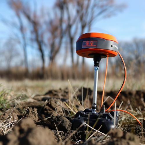
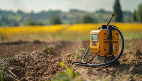
Ground Penetrating Radar
Introduction
Ground Penetrating Radar (GPR) is a geophysical method that uses radar pulses to image the subsurface. This nondestructive method uses electromagnetic radiation in the microwave band (UHF/VHF frequencies) of the radio spectrum, and detects the reflected signals from subsurface structures. GPR can have applications in a variety of fields, including rock, soil, ice, fresh water, pavements and structures. In the right conditions, practitioners can use GPR to detect subsurface objects, changes in material properties, and voids and cracks.
Principles of Operation
GPR uses a high-frequency (usually polarized) radio signal that is transmitted into the ground and reflected signals are returned to the receiver, providing information about the location, depth and size of possible subsurface anomalies and structures. The principles involved are similar to seismology, except GPR methods implement electromagnetic energy rather than acoustic energy, and energy may be reflected at boundaries where subsurface electrical properties change.
The depth range of GPR is limited by the electrical conductivity of the ground, the transmitted center frequency and the radiated power. As conductivity increases, the penetration depth decreases. This is because the electromagnetic energy is more quickly dissipated into heat, causing a loss in signal strength at depth. Higher frequencies do not penetrate as far as lower frequencies, but give better resolution. Optimal depth penetration is achieved in ice where the depth of penetration can achieve several thousand metres (to bedrock in Greenland) at low GPR frequencies. Good penetration is also achieved in dry sandy soils or massive dry materials such as granite, limestone, and concrete where the depth of penetration could be up to 15 m. In moist and/or clay-laden soils and soils with high electrical conductivity, penetration is sometimes only a few centimetres.


Methodology
The basic concept of GPR involves the transmission of a high-frequency electromagnetic pulse into the ground. The transmitted pulse is reflected to the surface when it encounters a change in dielectric constant, or permittivity, in the subsurface. The reflected signal is then recorded by a receiver on the surface. The time taken for the pulse to travel to the reflector and back is measured and used to calculate the depth of the reflector. The amplitude of the reflected pulse is a function of the contrast in dielectric properties at the interface, and the spatial orientation of the object causing the reflection.
Applications
GPR has many applications in a number of fields. In the Earth sciences it is used to study bedrock, soils, groundwater, and ice. It is used in environmental studies, archaeology, and geology. It can be used to detect rock, soil, ice, fresh water, pavements and structures. It can also be used to detect subsurface objects, changes in material properties, voids and cracks.
Limitations
While GPR provides a rapid means of collecting high-resolution subsurface data, it is not without its limitations. The depth of penetration is limited in many soils, due to electrical conductivity, and the technique is thus not applicable in areas with high clay content. The presence of water also greatly limits the depth of penetration. The method is also sensitive to the electrical conductivity of the soil, which can be affected by soil type, moisture content, and soil temperature.
